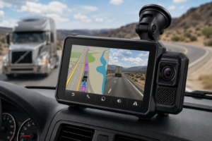
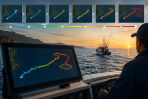
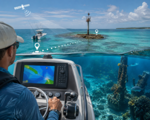
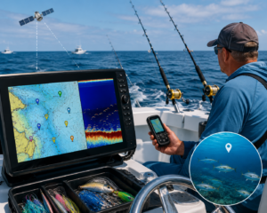
Using GPS to set boundary lines and no-go zones makes it easier to keep people, pets, vehicles, or equipment where they need to be. GPS technology is super helpful for defining safe areas and getting instant notifications if a device or person crosses a set limit. I’m going to break down how these systems work, how to set them up, and where they come in handy. I’ll also help you sort through the best GPS for no-go zones in 2026, including my top picks for boundary systems and management solutions backed by recent reviews.
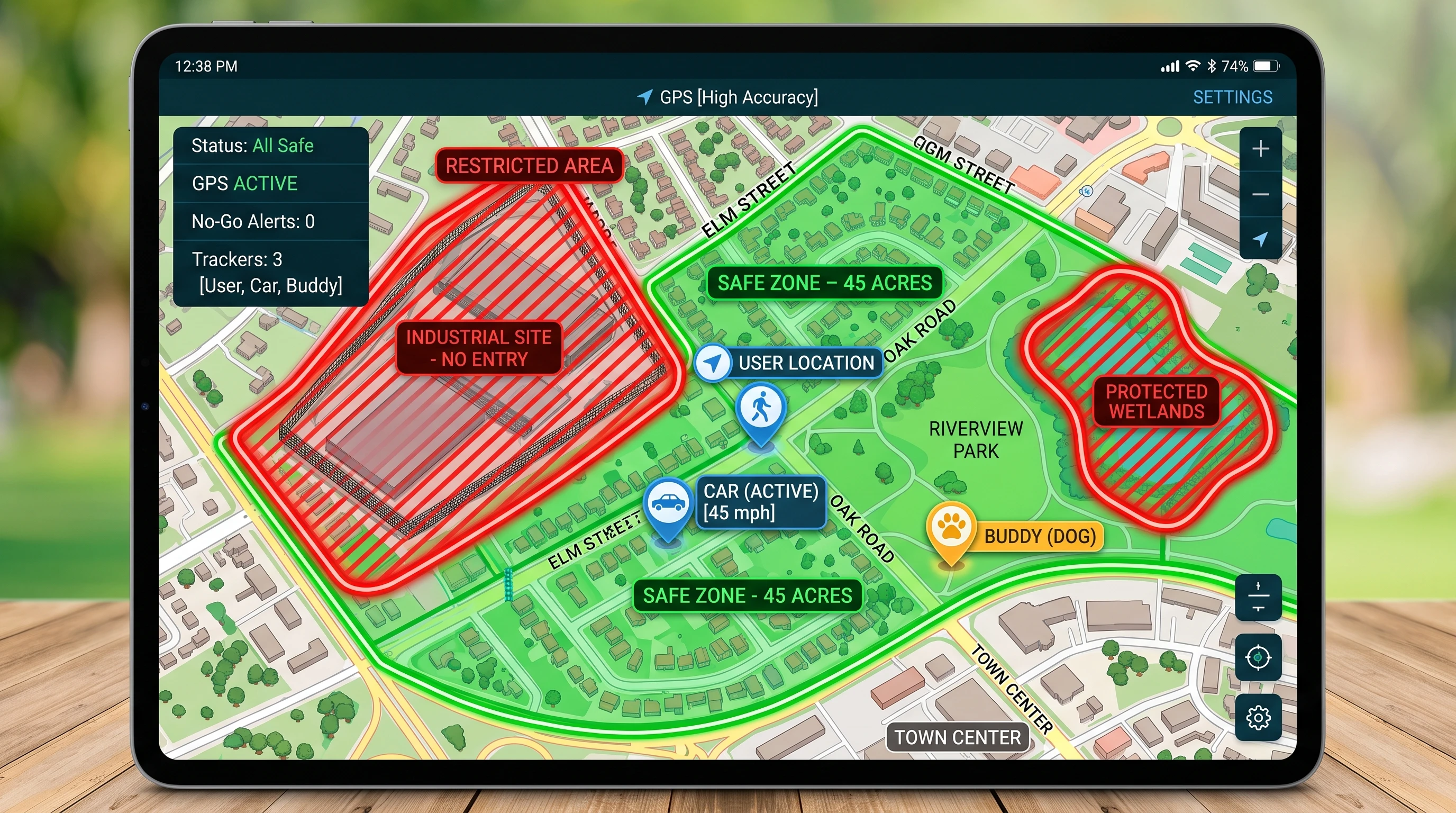
How GPS Boundary Lines and No-Go Zones Work
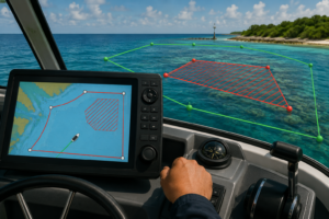
GPS boundary technology works by using satellite signals to track a device’s location, then comparing that position to a set of digital maps or coordinates. You can draw a virtual boundary, known as a geofence, around any area. If the GPS tracker leaves or enters these zones, the system immediately alerts you through an app or text message.
A GPS tracker receives signals from at least three GPS satellites to find its exact latitudinal and longitudinal coordinates. With this info, it can pinpoint its position on a digital map stored in the system’s app or web dashboard. The software then checks if the location matches the allowed areas you set. This is usually done in near real time, sometimes with just a few seconds of delay, depending on how often the GPS updates its position.
Most systems let you create multiple boundaries or no-go zones for one tracker. You decide the size, shape, and location of each zone, making this tech very flexible. The alert system ties all of this together by letting you respond quickly if something literally crosses a line.
Setting Up GPS Boundaries and No-Go Zones Step by Step
Getting started with GPS boundary lines is easier than you might think. Here’s the basic process I follow when setting up a new GPS boundary or no-go zone:
- Choose Your GPS Tracker or System: Pick a tracker or platform known for reliable coverage and good user reviews. Dog trackers, fleet systems, and personal trackers often include boundary features in their app.
- Install Any Required Apps or Software: Download the aligned app onto your phone or access the provider’s web portal. Most modern systems are app based, but some use desktop software or online dashboards.
- Activate and Register the Device: Follow the manufacturer’s setup guide to turn on, sync, and register the device in your account.
- Access Boundary/Geofence Settings: Inside the app, open the geofence or boundary section. You’ll see an interactive map.
- Draw or Select the Zone: Use the touchscreen or mouse to drop pins on the map, drawing a circle or custom shape around the safe or restricted zone.
- Set Alert Types: Choose when and how you want to be notified—by push notification, SMS, email, or even phone call. Some apps let you set different alerts for entering or leaving the boundary.
- Test Your Setup: After saving the settings, move the GPS tracker in and out of the boundary to check that alerts work as expected.
- Adjust As Needed: Fine-tune the size or location of each zone at any time from your app. Some GPS apps allow for scheduling, so zones can change automatically based on time of day.
Following these steps only takes a few minutes if the device is userfriendly and the software is well designed. System updates can add new features over time, so it pays to check for app updates if you notice any issues.
Common Applications for GPS No-Go Zones
I use GPS boundaries in lots of different scenarios. Here are some of the most common places people rely on this tech for peace of mind or better control:
- Fleet Management: Businesses set boundaries around job sites, city limits, or delivery zones. If a vehicle leaves the approved area, the manager gets notified right away. This cuts down on unauthorized trips and helps with route planning.
- Pet Containment: GPS pet trackers now let pet owners set safe zones like yards or parks. If a dog or cat escapes, the system sends a real-time notification. This is especially useful for dogs with a habit of exploring outside the fence.
- Child Safety: Wearable trackers for kids allow parents to define safe zones around home, school, or friends’ houses. If the child leaves or enters certain areas at unexpected times, parents can react fast.
- Construction Sites and Work Zones: To improve safety and reduce theft, companies put GPS trackers on equipment. If machinery leaves the job site after hours, security is alerted immediately.
- Elderly Care: GPS trackers for seniors with dementia or memory loss can alert caregivers if someone strays beyond a safe zone, making it easier to step in quickly.
GPS boundaries are popular because they’re flexible. I find myself using the same tracker models for different tasks just by reconfiguring the zones and alert types.
How GPS Tracking with Boundary Alerts and Notifications Works
Understanding GPS tracking with boundary alerts is important for making the most of any system. Here’s how the notification process usually works for me:
- The GPS tracker checks its position against the map at regular intervals. For most consumer devices, this update happens every 30 seconds to 2 minutes, but high-end systems can check location even more frequently.
- When the position falls outside (or inside, if you choose) your geofenced area, the tracker or app triggers a notification.
- The notification types vary. Many send a push alert through the app, an SMS message, or even a voice call for premium services. Some systems log the event for future review, while others provide a live map with movement tracking.
- The alert can be sent to multiple contacts. Businesses sometimes have alerts routed to both managers and security staff, while families can notify multiple caregivers or parents.
- Some newer GPS boundary systems allow for automation, such as locking doors or triggering video cameras when the nogo zone is breached.
For my fleet customers, instant alerts help them respond to unauthorized activity quickly. For pet and child safety, even a minute’s delay can make the difference in a parent’s peace of mind.
Key Benefits of GPS Boundaries and No-Go Zones
Drawing from my own experience, here are a few major benefits that GPS boundary technology brings to daily life and business:
- Peace of Mind: You know right away if someone or something leaves a safe zone, reducing stress and making oversight much simpler.
- Improved Safety: For kids and seniors, boundary alerts mean a faster reaction time in emergencies.
- Reduced Theft and Loss: Organizations use GPS boundaries to secure expensive equipment or vehicles and discourage unauthorized movement.
- Streamlined Operations: Delivery companies and worksites keep vehicles on track with less manual checking by staff.
- Customizable Control: Adjusting zones is fast and can be done from your phone anytime, anywhere.
Once you set up a system and receive your first alert, you’ll see how quickly it becomes a vital tool.
Buyer’s Guide: Best GPS for No-Go Zones 2026
With so many choices, careful research helps buyers make informed decisions about GPS boundary systems. In 2026, I find that the top-rated GPS boundary systems have a few things in common, such as long battery life, high location accuracy, fast alerts, and easy app controls. Here’s how I would go about choosing and some brands and models to consider:
- Device Accuracy: Check the location update frequency and whether the device uses WiFi or cellular signals for extra precision.
- Battery Life: For daily use, longer battery life reduces maintenance and keeps tracking active even if you forget to recharge.
- Multiple Zones: Make sure the tracker allows several zones and supports custom boundaries rather than just fixed radius circles.
- Alert Options: Options for SMS, app pushes, and calls are a real plus. Higher end devices support integration with other security systems.
- Durability: For pets and kids, waterproofing is really important. Fleets need rugged, weather-resistant units for outdoors.
- Easy App Interface: An intuitive app or web dashboard makes setting and adjusting zones much faster.
- Subscription Costs: Some trackers require monthly fees for cellular service or advanced features. I always compare these costs across brands.
According to 2026 GPS boundary system reviews, these brands and models rate highly for various needs:
- Fi Series 4 (Pet): Touted for super long battery life (up to 2 months), strong GPS accuracy, and sturdy build for dogs who like to swim or run through brush.
- AngelSense 2026 (Child & Elderly): Features include easy zone setup, reliable real time tracking, and a help button for alerts. App is user-friendly.
- LandAir Pro 5000 (Fleet & Equipment): Offers precise zone setup, instant SMS/email alerts, and a waterproof rugged shell. Often bundled with management dashboard software for business use.
- SpotOn GPS Fence (Pet & Property): Allows users to walk a zone’s perimeter to set custom shapes, supports very large properties, and has live tracking with mobile notifications.
- Vyncs Fleet GPS (Vehicle & Fleet): No monthly fee after the first year, strong boundary features, and a reliable app for tracking cars, trucks, or assets. Option to export historic breach events in spreadsheet form.
GPS Boundary Management Solutions: Choosing What’s Best for You
No single GPS boundary management solution fits every need. Here are some tips I keep in mind for getting the most out of these systems:
- For families: Pick trackers with fast, easy-to-use apps and wearable form factors. Waterproofing is helpful for both peanuts and pets.
- For business and fleets: A robust dashboard, scheduling, and bulk device management matter more. Keeping historic records of breaches or movement lets you spot patterns and optimize operations.
- For property and equipment: Units designed to handle weather or tampering stand up to tough job sites. Look for long-range coverage if you operate outside urban areas.
Top GPS boundary management solutions in 2026 often offer automatic reports, remote device updates, user-friendly support, and the ability to control multiple trackers from one login. Integration with home automation or security systems helps automate actions based on boundary events. Reading recent user reviews is really helpful, especially for learning how systems actually perform in the real world rather than just relying on the basic specs.
Frequently Asked Questions about GPS No-Go Zones and Boundaries
How accurate are GPS boundaries?
Accuracy varies by device and area. Most consumer models are accurate within 10-20 feet, though professional devices can get even closer, especially in open areas with strong satellite coverage. Tall buildings or dense trees may reduce accuracy slightly, but most modern systems do a great job overall.
Can I set up multiple no-go zones at once?
Yes, most new GPS boundary systems support multiple zones per tracker. Some brands put a limit, but it is usually more than enough for most use cases.
What happens if my GPS tracker loses signal?
If the device can’t get a GPS fix due to dense cover, being indoors, or obstructions, it will use the last known location and pick up tracking again once signal is restored. Some trackers also use WiFi or cellular triangulation as backup.
Are there ongoing fees for GPS boundary features?
Many systems require a subscription for advanced features like real time boundary alerts. Others work over Bluetooth or local radio with no ongoing charges but may have limited range.
Tips for Getting the Most Out of GPS Boundaries
From my own usage and feedback from families and business owners, these tips help users avoid frustration and keep their GPS boundaries working smoothly:
- Test your zones by walking or driving the device yourself to ensure alerts come through on time.
- Update firmware and app versions as soon as they become available for bug fixes and new features.
- Set up backup contacts for notifications so someone is always reachable.
- Review historic boundary breach logs to spot patterns and tweak your coverage as your needs change.
- Don’t forget to charge personal and pet trackers regularly or check batteries on rechargeable fleet units.
Staying hands-on keeps your system working as it should and lets you respond quickly if something does go wrong.
Choosing GPS Boundary Tech That Fits Your Needs
GPS boundary lines and no-go zones make managing safety and oversight a lot simpler. I’ve seen these systems help businesses track fleets, protect job sites, and give parents or pet owners peace of mind. Good GPS nogo zone tools are only getting easier to set up. The latest 2026 GPS boundary management solutions bring more customization, smarter alerts, and wider device support than ever.
Taking the time to choose a model that fits your situation, from top-rated GPS trackers for no-go zones to business-grade boundary management platforms, is really important. User reviews and hands-on testing help a lot with finding the right fit. Whether you want to keep a pup in the yard, know when a delivery truck leaves the city, or secure expensive equipment, GPS boundaries are now a practical and flexible way to get more control.
About The Author