Reliable GPS navigation is one of the main reasons I feel secure every time I head out for an offshore fishing trip. With the vastness of the open ocean and unpredictable weather, getting back to the dock safely matters more than anything else. Even the most experienced offshore anglers like me rely on GPS for route planning, marking fishing spots, and keeping a safe path home. A solid GPS system isn’t just about ease of travel. It supports situational awareness, helps avoid hazards, and is key to offshore fishing safety practices.
Best GPS Devices for Offshore Fishing and Saltwater Use
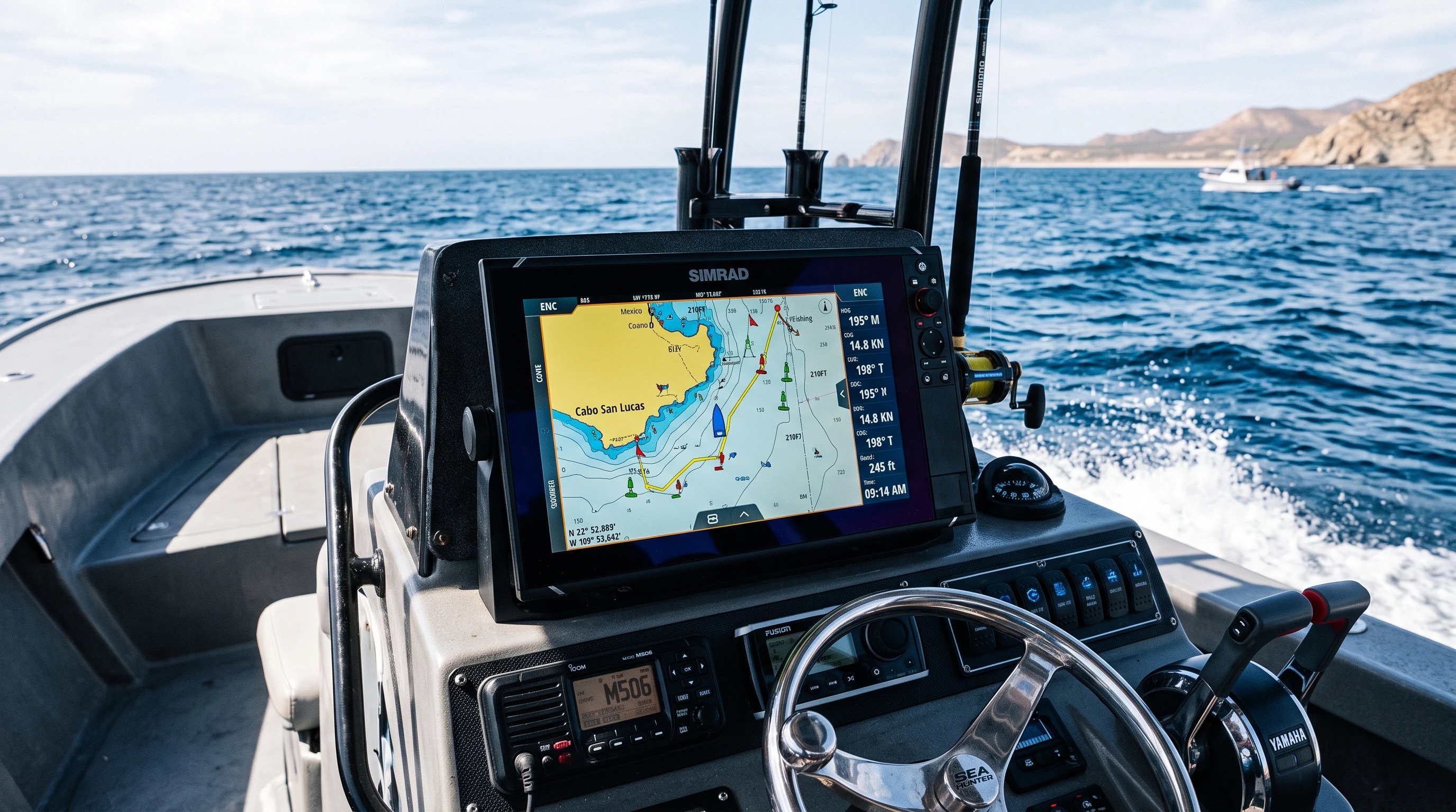
Choosing the best GPS devices for offshore fishing really affects how much I trust my navigation when I’m far from shore. The three most popular options are handheld GPS units, fixed-mount marine chartplotters, and smartphone GPS apps. Each has its strengths depending on your boat setup and fishing habits.
- Handheld GPS Devices: These are portable and can serve as backups. I like taking one whenever I’m on a buddy’s boat, or when I need a secondary unit in case my main system has trouble. They usually run on AA batteries and are waterproof, but screen sizes and map detail are smaller than on full chartplotters.
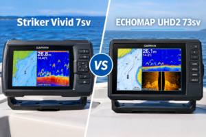
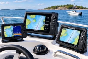
- Fixed-mount Marine Chartplotters: This type mounts on my console and offers much bigger screens, advanced nautical mapping, and integration with sonar and radar. Most serious offshore boats use chartplotters for their reliability, ability to mark hundreds of waypoints, and features like radar overlay. Marine-specific construction and sunlight-readable screens keep them usable in real offshore conditions.
- GPS Smartphone Apps: Mobile apps like Navionics or iNavX are handy for pre-trip route planning and as an added layer of navigation. I find these especially useful for checking charts away from my main boat’s electronics. Keep in mind that if you rely mostly on a smartphone, battery life and weatherproofing can be major limitations offshore.
The best GPS devices for saltwater fishing are usually marine chartplotters from brands like Garmin, Simrad, and Raymarine. These have dedicated hardware for navigating the high seas and can be integrated with your boat’s electronics. For smaller boats or as spare options, models like the Garmin GPSMAP 86sci or Lowrance handhelds offer good saltwater maps and durability.
Understanding GPS Accuracy for Offshore Fishing Trips
GPS accuracy for offshore fishing trips really comes into play when I’m marking structure, returning to exact fishing spots, or making sure I avoid shallow reefs in unfamiliar water. A typical recreational GPS will pinpoint my location to within 3 to 10 meters most of the time, but I pay attention to a few details that affect how close my marks actually are.
- Satellite Strength and Count: More satellites locked mean a stronger signal and fewer errors. I try to check my device’s satellite info before heading far out.
- WAAS/DGPS Correction: WAAS (Wide Area Augmentation System) and Differential GPS (DGPS) use correction data to boost accuracy, often to under 3 meters. Most chartplotters and quality handhelds support WAAS.
- Weather and Boat Construction: Heavy clouds, metal roofs, or certain hull materials such as aluminum can block or reflect signals, reducing accuracy. For best results, I keep the GPS antenna as open as possible and away from obstructions.
Factoring in these points, every trip helps me lay accurate waypoints and trust my charts when I’m miles offshore. If I notice unusual errors, I sometimes restart my device or give it a few extra minutes to reestablish a solid satellite fix. I might even keep a quick log of what satellite accuracy looked like under different weather, just for future reference.
Offshore Fishing GPS Installation Guide
I’ve learned that installing my GPS correctly keeps me from experiencing reliability issues while offshore. Here’s how I like to do it, following a few key steps for safety and performance:
- Choose a Visible, Accessible Mounting Spot: I mount my chartplotter at my console or helm, where I can see it standing or sitting. The angle should avoid glare, and water shouldn’t pool on or drip into the device.
- Wiring Direct to Power: I always wire my main GPS directly to the battery or main breaker (not just an accessory plug) to avoid accidental shut-off. Using a dedicated fuse keeps things safe.
- Antenna Placement: For external GPS antennas, I make sure they’re mounted clear of metal or electronics that could cause interference. Most new units have built-in antennas, but if not, it should be as high and open as possible. Keep it away from VHF and radar domes for best results.
- Initial Setup and Calibration: After wiring and mounting, I power up the unit and let it acquire satellites. I walk through basic settings, updating charts, setting units to nautical miles, and calibrating heading sensors if included. I also make a few waypoints in the marina to test accuracy.
Doing a careful installation really minimizes failures when you need the GPS most out on the water. If you’re ever unsure about the wiring, it’s worth checking the manual or asking another angler what worked for them.
GPS Mapping for Offshore Fishing
One of my favorite uses for marine GPS is mapping my fishing grounds. GPS mapping for offshore fishing involves a few key skills: reading nautical charts, marking waypoints, tracking productive spots, and using bathymetric or depth-contour data to find new areas.
- Reading Nautical Charts: Most GPS chartplotters and advanced apps come loaded with marine charts. I use these to check for depth changes, underwater structure, channel markers, and hazards before I even leave the dock.
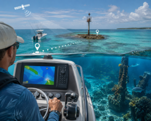
- Marking Waypoints: As soon as I hook up on a reef or want to remember a specific ledge, I hit the ‘mark’ button. Over time, I built a library of my best spots—reefs, wrecks, FAD buoys, and even productive drift lines.
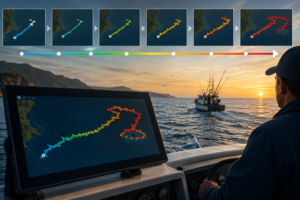
- Tracking and Routes: I always record my trolling or drifting tracks and routes on my way home. This makes it much easier to retrace my steps if visibility drops or conditions change unexpectedly. Sometimes, having tracks saved from prior trips helps when comparing which routes were safer or more productive.
- Bathymetric and Contour Data: With charts like Navionics+ or BlueChart g3, I get detailed seafloor contours. These help me target drop-offs, humps, and other structures that hold bait and predators miles offshore.
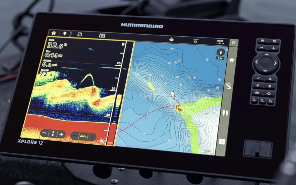
Reliable mapping is how I keep trips organized and make repeat visits more productive every season. I also find that sharing some waypoints or maps with friends can help everyone find fish faster—a true team advantage.
GPS Navigation for Deep Sea Fishing
On deep-sea fishing runs, GPS navigation steps up from just following a track. While heading 20 miles or more offshore, I want to optimize my route, manage my waypoints, and make sure I’m using radar and sonar together with my GPS for the fullest situational awareness.
- Route Planning: I pre-set my routes with clear start and destination points, plus waypoints for hazards such as sandbars or known wrecks. This reduces mistakes when visibility or sea state isn’t ideal, and sometimes I set alternate routes in case I need to switch plans mid-trip.
- Waypoint Management: Organizing waypoints by name and icon helps me know what I’m looking for on the screen, whether it’s a shallow reef or a deep dropoff.
- Combining with Radar and Sonar: Modern chartplotters let me overlay radar targets with my GPS chart. This is especially useful in fog or at night. Alongside sonar, I can check both where I am and what’s beneath the boat, often spotting fish or hazards I’d miss with GPS alone.
It’s also helpful to sync up your GPS with your VHF radio (DSC features). This way, if there’s an emergency, your exact location is automatically sent through distress calls. Double-checking these connections before heading out keeps the system tight and fully functional.
Offshore Fishing Trip Navigation Tips
Practical navigation habits round out my system and make for safer, more successful offshore trips. Here are the offshore fishing trip navigation tips I follow every run:
- Plan courses ahead of time using up-to-date charts, especially if I’m running in new water or planning for a long haul.
- Set a direct waypoint home from the most distant spot before I start fishing, so if the weather closes in, I have a single-button return course.
- Track my fuel consumption versus distance traveled. On my GPS, I’ll usually reset the trip log at the dock and keep an eye on estimated range. This is super important since running out of gas is one of the main causes of trouble offshore. I also advise logging engine hours to catch any mechanical issues early.
- Save potential emergency routes to known safe harbors or marinas along my path, just in case I need to duck in quickly. It’s smart to factor in a couple of alternative stops, not just the closest one.
- Keep a printed chart and a paper copy of GPS waypoints. Electronics fail sometimes; a low-tech backup can really get you out of a jam in bad conditions.
Offshore Fishing Safety GPS Practices
The best GPS practices for safety are the ones I build into my routine on every offshore trip. Some are about redundancy; others are about making sure help can find me if something goes wrong.
- Always Bring a Backup: I bring a handheld GPS every time, even with the most reliable fixed-mount chartplotter. If my main system goes down or power is lost, the backup keeps me on track.
- Integrate Emergency Beacons (EPIRB/PLB): For offshore runs, I use an EPIRB or PLB registered with my details. Some modern GPS models can be linked to these beacons to transmit my exact position to rescuers. I even check the battery expiration dates on my beacons at the start of each season.
- Share Your Location: I make it a habit to share my trip plan and route (including GPS waypoints) with a shore contact before I leave. This adds another layer of safety if communication is lost. Some apps allow live tracking to share your boat’s movement in real time, which can ease everyone’s mind back home.
- Know How to Use Man Overboard (MOB) Functions: Most current chartplotters and handheld GPS units have a dedicated MOB button. Pressing this instantly marks the current location as a waypoint, so I can circle back fast and accurately in a real emergency. Practice how to activate this feature before you’re out at sea, it’s one button that can save lives.
- Continuous Learning: I keep up with the latest updates for my GPS software and any new safety features that may be added. A quick check for firmware updates a few times a year ensures my GPS is reliable and up to date.
Frequently Asked Questions
Do I need a dedicated marine GPS rather than just using my phone?
Based on my experience, a dedicated marine GPS or chartplotter is much more reliable offshore. Phones are great for backup and planning, but dedicated devices handle water, sun glare, and boat vibration much better and have longer battery life when it matters most.
How many waypoints can I save on a typical marine GPS?
Most fixed-mount chartplotters let me store hundreds or even thousands of waypoints and several routes, which is more than enough for seasonal offshore fishing.
Is WAAS/DGPS really needed for offshore fishing?
If I’m fishing reefs or looking for small structures, WAAS or DGPS is worth it for the improved accuracy. It helps ensure the GPS shows my position as close to reality as possible, which can make all the difference over miles of ocean.
Fitting my boat with the right GPS, learning to use it well, and sticking to safe practices give real peace of mind. GPS changes the way I fish offshore, making every trip safer, more productive, and a lot more enjoyable. And as offshore fishing gear continues to improve, I’ll keep adapting my navigation habits to stay ahead of the latest trends for safety and success.
This article was created with AI assistance and reviewed by a human editor.
About The Author