I have mentioned in my posts about Garmin Marine GPS navigation system several times. Also, there are some reviews about other Garmin GPS products, both for the car and for motorcycles.
No secret that Garmin GPS is one of the top brands when it comes to car Sat navigation systems. What about GPS for boats and yachts or even for big merchant ships? I mean, is it also so popular and demanded? Let’s do some research.
The marine GPS navigation system market is very busy, and competition is high. When it is time to choose for new chartplotter, GPS fishfinder combo or handheld GPS not so easy to choose between Raymarine, Garmin, Humminbird, Furuno, Lowrance, Simrad, B&G and other.
…are made by the same producers.
It is no secret that many crucial components for GPS navigation devices like receiver chips are made by the same producers. It means that the main task of GPS (and other global positioning systems like GLONAS and Galileo) geographical position obtaining for all brands is about the same.
Someone could argue that Garmin or Raymarine uses different parts and electronics. It could be so, but in general, all are about the same. I am not talking about defense and military technologies. As a rule, it is almost always a step ahead though there are exceptions as well.
Garmin brand is very popular not just amongst drivers, even ATV, motor bikers and hikers also enjoy Garmin GPS navigators.
Garmin is the US brand, so most of the stand-alone car GPS units for North America drivers is labeled with this logo.
What is a situation in the marine electronics market?
More or less every electronic unit on a boat is somehow associated with the GPS. Mainly it is data of speed and geographical position which give information to different gauges as relative and true wind speed, drift and others.
The short answer is, Garmin is a late starter but fast chases other competitors and one of them is Raymarine.
My and not only my opinion is that ta complete networking system for marine needs for today. It means that GPS, radar, sounders, wind gauges, engine data, autopilot, radio VHF and even smartphones can be networked.
From the other side, I am a little confused after surfing the net about marine GPS popularity.
One of the well-known outfitters of boating-related products as „West Marine” research showing a bit different statistics of Marine GPS popularity. According to the West Marine a high five stars’ ratings have Simrad and Lowrance, almost none of the Raymarine product.
I decide to do my research.
It might seem a little subjective judgment, but I think quite correct because it is based on real user feedback. Therefore, my research should not be regarded as absolute truth, but rather as a little help before making a purchase choice.
Let’s be honest and agree that none is perfect, and we can have totally different experience of similar GPS. Sometimes it is just lack of knowledge before purchase as we were awaiting more. But, when many real users are spreading good or bad words based on their experience, it is a true value which would be worth to take into account.
As my post’s title is about Garmin marine GPS system, let’s dig deeper what boaters talk about it.
I have read many of forum threads related Garmin GPS for boats and unflattering assessment about Garmin has changed. Many boaters comparing Raymarine vs. Garmin GPS cons and pros, however, prefer the Garmin brand.
Why? Both of manufacturers make really good devices and technically more or less is the on the same level.
Year to year it coming harder to invent something exclusive to overtake competitors, so crucial is an attitude to customers. According to a great number of reviews, a Garmin’s customer services is excellent. It is a huge company, and they have more sources to meet customer expectations and product defect or waster.
Humminbird users are satisfied with their customer’s service as well although it is relatively not such a big company. Unfortunately, Raymarine service might want a better as so many unsatisfied buyers accuse the company of poor service.
Many claims have been found about Lawrence customer service even of lack of it at all. All in all, a proper help from a manufacturer is essential as a marine environment and exploitation habits sometimes are very tough. So even out of warranty case help is enjoyable action.
Another important detail is mapping solution and sources.
Garmin has his own mapping- Garmin BlueChart. Raymarine uses Navionics and recently uses his own nautical charts too. Without a long blabbing, I found that Garmin BlueCharts is easier to read and more detailed vs. Navionics. Personally, I never have an opportunity to sail by BlueCharts but Navionics from my experience is good enough. Here I found that Garmin mapping solution is even better.
What is real chart coverage and how detailed it depends on available data sources from Hydrographic survey executors which, as a rule, is state-owned semi-military companies with limited data distribution.
Hydrographic survey and nautical chart producing require huge resources and to has his own stuff for it can not be affordable for every company.
In the USA it is NOAA (Nautical Oceanic and Atmospheric Administration). Charts constantly are updating for safe navigation and even with rising robotization of many procedures a huge professional stuff of human resources is required.
One more important feature has to be considered, how easy is using a device. It includes an interface, help features, intuitively and so on. Garmin Marine GPS users are the most satisfied comparing to other.
When it comes to the latest point, I would like to say that personally for me it is not so important. It takes just a little bit more time to be familiar with an interface and not all people have a common view on this.
As I continue to digging forum threads of marine navigation, I stuck to a discussion about Navionics vs. BlueChart. Real user talks and some valuable information, but I can not trust to Navionics sales manager allegations that his company offers chart updates on daily basis.
I am an ex-merchant navigation officer and served decades on oceangoing ships. I am familiar with nautical chart update procedures and even for professional merchant shipping Admiralty Notices for Mariners is published once a week. I make chart and Pilot book corrections manually. Today it is done by computer so much easier for the second mate.
Having data for daily chart update is impossible. Although there are temporary corrections which are published by NAVTEX system, One of a compulsory navigation tool on the board of the SOLAS vessel.
Let’s try to make a conclusion of title question of the popularity of Garmin marine GPS system.
Yes, it is popular, and popularity is just rising. Is Garmin better than other brands? No simple Yes or Not. If it comes to me then, after spending hours for research, my sympathy to this brand marine device is doubled at least.
Would I use it on my private boat? Hard question, but taking into account all discovered pros and Cons-Yes, I would seriously consider the option to purchase a Garmin Marine GPS system.
As an Amazon Associate I earn from qualifying purchases.
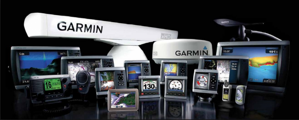

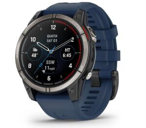
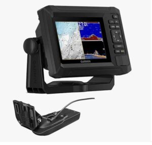
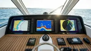
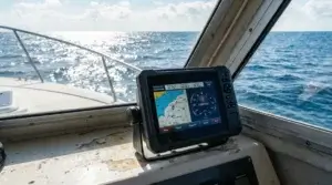
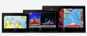
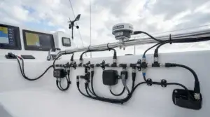
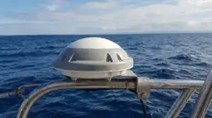
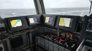

I would like to use the Garmin Marine GPS System for my vessel if only I could afford it.
Do you have any regrets working on sea ships during your career?
I’ve been considering joining the Navy but understand the commitment and responsibility is huge.
Thanx for your take on this GPS system.
Hello, Benjamin!
I feel so honored that asked me for advice about job or service at sea. It is no simple answer.
The short answer is if you are good in health then go ahead. I never regret my almost twenty years of serving on merchant vessels. Normally it is nearly impossible to visit countless countries and in the same time earn money for rather good life when on shore.
Wow I never realized there was GPS for marine environments. I guess it makes so much more sense as there are people who scuba and deep-sea dive in areas all the time. Of course I figured boats would have some sort of gps system, but never personal. That’s a really cool thing. I wonder what kinds of features and landmarks they include.
He Wil!
Actually, Mariners were the first who started to use the GPS for a long time before they appeared in car navigation. Before that GPS satellite navigation system was secret military enterprise when the USA and USSR running cold war games.
You mentioned scuba diving. Yes. GPS chartplotters could be useful to find a diving spot but under water it is useless. Recently another underwater navigation system has been invented but still not for public use.