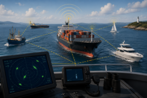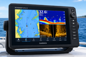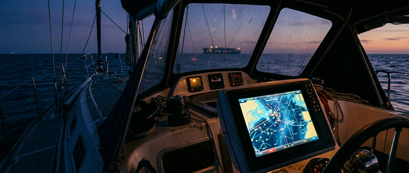
Most explanations of AIS stop at the chartplotter screen: a boat-shaped icon appears, you click it, a name and speed pop up, end of story. That’s the surface. Underneath, AIS is running a continuous stream of position reports through a set of calculations that determine whether a ship four miles away will pass safely behind you or put you in the water in eleven minutes. Understanding that layer, not just the icon, is what separates a sailor who glances at the screen from one who can actually use it to cross a shipping lane without guessing.
This matters most where it’s hardest: busy coastal traffic, traffic separation schemes, and the open stretches of ocean where a container ship doing 22 knots closes distance far faster than its size suggests. The data AIS transmits, how Class A and Class B units differ in what they send and receive, and how CPA and TCPA numbers turn a stream of positions into a go-or-no-go decision are the parts that actually prevent a collision. The icon is just where that work shows up.
What AIS Actually Transmits, and Why That Data Matters More Than the Blip
Every AIS transmission carries more than a position. A full report includes the vessel’s MMSI (a unique nine-digit identifier), its current GPS position, speed over ground, course over ground, and rate of turn. Static data, sent less frequently, adds the vessel’s name, type, dimensions, and navigation status, whether it’s underway, at anchor, restricted in its ability to maneuver, or not under command.
Rate of turn is the piece most sailors overlook, and it’s one of the more useful numbers on the screen. A ship holding a steady course and a ship mid-turn look identical on a chartplotter if you’re only reading position and heading. Rate of turn tells you whether that bearing you’re watching is about to change on its own, before the ship’s new course shows up in its next position report. On a crowded lane, those few seconds or few minutes of advance notice is the difference between reacting early and reacting late.
Navigation status matters just as much, and it’s the field most commonly ignored. A vessel broadcasting “restricted in ability to maneuver” or “constrained by draft” isn’t just another contact to apply the usual give-way rules to. Under the COLREGs, these statuses change who has right of way, and AIS is the only way you’ll know that status before you’re close enough to read it off a day shape or light configuration. A tanker in a dredged channel broadcasting “constrained by draft” cannot alter course to avoid you even if the geometry says it should. That single data field changes your decision, not just your awareness.
The reporting rate itself carries information too. Class A transponders update position every two to ten seconds depending on speed and whether the vessel is turning, and every three minutes when at anchor. That update rate is dynamic by design: a ship is reporting more often exactly when its position is changing fastest, which is also when stale data would be most dangerous. Knowing that the data refreshes faster as a vessel speeds up or turns is part of trusting what the screen shows you, rather than treating every icon as equally up to date.
Class A Versus Class B: The Transponder Gap That Decides Who Sees You First
Class A transponders are mandatory for commercial vessels over a certain tonnage under SOLAS. They transmit at full power, report frequently, and include the complete data set: turn rate, navigation status, destination, and estimated arrival time. Class B units, the kind fitted to most recreational sailboats, transmit at lower power, report less frequently, and omit several fields entirely, including rate of turn on many units and navigation status on all but the newer Class B SO (self-organizing) models.
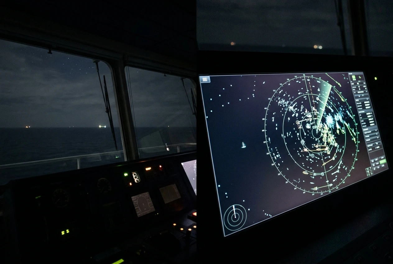
That gap isn’t a minor technical footnote. It decides who sees whom first, and how much a ship’s bridge watch actually knows about you.
A large commercial vessel’s AIS receiver, often integrated with ARPA radar, is built to prioritize and filter Class A contacts. On a ship making 20 knots through a traffic lane, the officer of the watch is monitoring a screen that may display dozens of Class A targets. Your Class B signal, transmitting at one-tenth the power and updating every 30 seconds while underway instead of every few seconds, can get deprioritized or genuinely missed on a cluttered display, especially older systems not configured to flag Class B targets distinctly.
This is also why the rate of turn missing from your own broadcast matters for how you fit into other vessels’ collision-avoidance math, not just your own situational awareness. If your Class B unit doesn’t send a rate of turn, a ship watching you turn across its bow has to wait for your new course to appear in a position update instead of seeing the turn coming. You’re invisible to their early-warning calculation even while you’re fully visible on their screen as a dot.
The practical implication for anyone crossing a shipping lane: assume the ship sees you later and knows less about you than you know about it. Your Class B transponder puts you on their screen, but it does not place you in their collision-avoidance system with the same weight as another Class A vessel. That asymmetry should shape how early you alter course, not just whether you alter it at all.
Reading CPA and TCPA: The Two Numbers That Turn Data Into a Decision
Position, speed, and course are raw inputs. CPA (closest point of approach) and TCPA (time to closest point of approach) are what a chartplotter or AIS receiver calculates from those inputs, and they’re the two numbers that actually tell you whether you have a problem.
CPA is the distance between your vessel and a target vessel at the moment they are closest, assuming both maintain their current course and speed. TCPA is how long until that moment arrives. Together, they answer the only question that matters when a ship is crossing your path: will this be close, and how soon do I need to decide?
A CPA of 0.1 nautical miles with a TCPA of 15 minutes is a very different situation from the same CPA with a TCPA of 90 seconds, even though the distance at closest approach is identical. The first gives you time to plot an intercept, hail the vessel on VHF if needed, and make a clean, early alteration. The second demands an immediate decision with no time to confirm it by radio. Reading TCPA alongside CPA, not just CPA on its own, is what tells you how much runway you have.
Both numbers are projections, not predictions. They assume the target vessel’s course and speed stay constant, which is often true for a ship holding a line through a traffic separation scheme and often false for a fishing vessel working a line or a ferry mid-maneuver. CPA and TCPA update with every new position report, so a target that looks comfortable now can tighten dramatically after the next course change. Treat the number as current information, not a fixed verdict, and recheck it rather than locking in on a reading taken five minutes ago.
Most chartplotters let you set a CPA and TCPA alarm threshold, and this is where the numbers stop being informational and start doing the actual work of preventing a collision. Setting those thresholds correctly, rather than leaving the factory defaults, is what keeps the alarm meaningful rather than useless or constant. More on that below.
Why AIS Thrives on Trade Routes and Traffic Separation Schemes
AIS was built for exactly the environment where commercial shipping concentrates: busy lanes with predictable, high-volume traffic moving in organized patterns. Traffic separation schemes, the designated shipping lanes found at major capes, straits, and harbor approaches, are where AIS performs closest to its design intent, because the traffic within them is almost entirely Class A vessels reporting at full rate with complete data.

In a traffic separation scheme, course and speed are relatively stable by design: vessels are expected to hold a lane, cross at a reasonable angle, and avoid unnecessary maneuvering. That stability makes CPA and TCPA calculations far more reliable, since the assumption they depend on, constant course and speed, actually holds most of the time. A sailor crossing a traffic separation scheme under sail or engine can use AIS with real confidence to identify the two or three vessels that matter out of a screen that might show a dozen contacts, and to time the crossing around them.
This is also where the density of Class A reporting pays off directly. In open water with scattered traffic, you might have one AIS contact to track. In a traffic separation scheme or a major harbor approach, you can have 10 or more simultaneously, each updating every few seconds and each with a calculated CPA and TCPA. The alarm thresholds and the discipline to read them matter far more here than in open water, simply because the volume of decisions you need to make in a short window is so much higher.
The flip side is that AIS’s strength in these high-traffic zones can create a false sense of coverage everywhere else. Outside a traffic lane, in a crowded anchorage, or along a coastline thick with small recreational and fishing traffic, the AIS picture thins out fast, because so much of that traffic either isn’t required to carry a transponder or carries nothing at all. The tool that feels comprehensive in a shipping lane can leave you with a near-empty screen in the exact inshore waters where close-quarters situations develop fastest.
Where AIS and Radar Disagree, and Why You Need Both
AIS and radar answer different questions, and the gap between what they show is where real collision risk hides. AIS tells you who a vessel is, where it’s reporting itself to be, and what it says it’s doing. Radar tells you what’s actually out there, reflecting energy back to your antenna, regardless of whether it’s broadcasting anything at all.
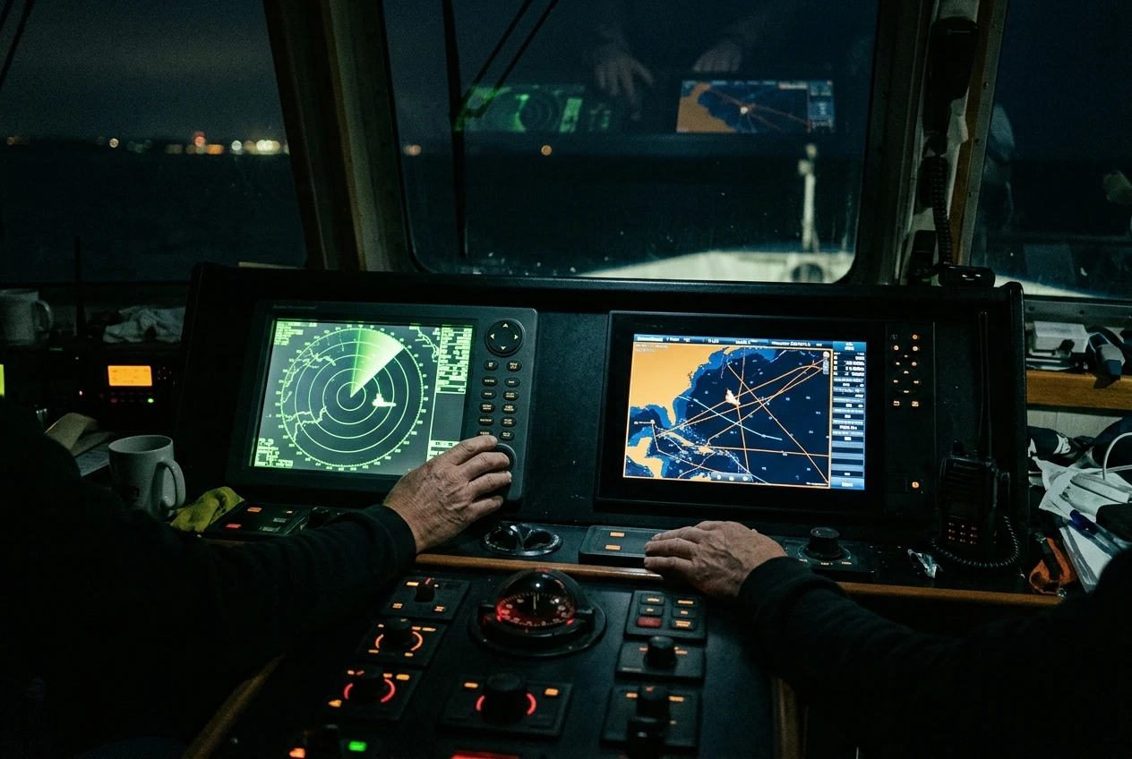
The disagreement shows up in three recurring ways. First, timing: AIS data is only as current as the last transmitted report, while radar is a live return updated with every sweep. A vessel that’s just altered course hard will show the new heading on radar before its AIS course over ground catches up. Second, coverage: radar sees anything with enough reflective surface, including vessels with no transponder, buoys, and in some sea states, squalls and heavy rain. AIS only sees what’s transmitting. Third, position accuracy: AIS position comes from the other vessel’s GPS, which is generally very precise, while radar position is calculated from your own vessel’s reference point and bearing resolution, which introduces greater error with range.
The practical upshot is that AIS and radar should be cross-checked against each other rather than treated as redundant confirmations of the same picture. When an AIS target’s reported position doesn’t line up with a radar return in roughly the same place, that’s worth investigating rather than dismissing, since the mismatch itself is information: a transponder with a GPS fault, a stale position report, or simply two different vessels close enough together to look like one on your screen. If you want the deeper mechanics of how radar builds its picture and where its blind spots sit, the piece on fundamentals of marine radar systems covers that ground directly.
Neither system alone gives you the full picture in a crowded lane. Radar without AIS tells you something is there but not what it intends to do or who to hail on the radio. AIS without radar tells you what’s broadcasting but nothing about the fishing boat with no transponder running dark fifty yards off your bow in fog.
The Blind Spots: Small Craft, Spoofed Signals, and Switched-Off Transponders
AIS works exactly as designed and still fails to prevent collisions, and the reason is almost always one of three gaps that sit outside the technology itself.

The first and most common is small craft without a transponder at all. Most recreational boats, many fishing vessels, kayaks, and paddleboards carry no AIS unit, Class A or B. These are not edge cases: in coastal waters and anchorages, the majority of vessel traffic by count is often non-transmitting. An AIS display showing a clear picture ahead can simply mean there’s nothing broadcasting, not that there’s nothing there. This is one of the strongest arguments for keeping a visual watch and radar scan running regardless of how clean the AIS screen looks.
The second gap is transponders switched off or malfunctioning. AIS units can be deliberately turned off, sometimes for operational security reasons on commercial or naval vessels, and sometimes left off due to oversight or equipment failure on smaller craft. A vessel you’d expect to see on AIS, based on its size and type, can be running with the unit off, and you have no way to know that from your own screen; the absence looks identical to open water.
The third, less common but documented, is spoofed or manipulated signals. GPS spoofing can cause a vessel’s AIS to report a position that doesn’t match its actual location, and, in rare cases, transponders have been used to deliberately broadcast false identities or positions. This is a minority concern compared to the first two, but it reinforces the same habit: treat AIS as strong supporting information, not as a sole source of truth about what’s out there.
None of these gaps are failures of the AIS system. Each is a case of AIS doing precisely what it’s built to do: reliably reporting data from vessels that transmit it. The collision risk lives entirely in what isn’t being transmitted, and that risk is exactly why a watch standard that leans on AIS alone, without visual lookout and radar, will eventually be caught out by the one contact that was never on the screen to begin with.
Setting Up Collision Alarms Without Drowning in False Warnings
The CPA and TCPA alarm is the point at which all of this data becomes an actual decision aid, rather than something you have to read and interpret manually every few minutes. Set the thresholds too loose, and the alarm never fires when it should. Set them too tight, and it fires constantly in any moderately trafficked area, which trains you to ignore it, the single worst outcome for a safety alarm of any kind.
A workable starting point is to set the CPA threshold close to the closest distance you’re actually willing to accept, given your vessel’s maneuverability and the sea state, rather than an arbitrary round number pulled from a manual. In open water with light traffic, a wider CPA threshold, say half a mile to a mile, catches genuine risks without flooding you with alerts from vessels passing at a comfortable distance. In a traffic separation scheme or harbor approach with dense Class A traffic, that same threshold will trigger constantly, and a tighter CPA paired with a shorter TCPA window becomes more workable, since you’re relying on frequent position updates and shorter decision windows anyway.
TCPA thresholds should reflect how much time your vessel genuinely needs to execute an alteration and have it register as a course change to the other vessel, not just how much time feels comfortable. A sailboat under sail needs longer to tack or bear away cleanly than a vessel under engine power with full maneuverability, and the alarm threshold should be set with that reality in mind rather than copied from a generic recommendation.
It’s also worth filtering by vessel class and by speed where your unit allows it. Anchored vessels and slow-moving small craft generate a disproportionate share of nuisance alarms in a busy anchorage; filtering those out, or raising the CPA threshold specifically for stationary or very slow targets, keeps the alarm focused on the contacts that are actually closing distance on you. The goal isn’t fewer alarms for their own sake. It’s an alarm list that only contains vessels worth making a decision about, so that when it does sound, you treat it as something to act on rather than something to silence out of habit.
AIS gives you the data to make that decision early, with real information to back it up, provided the alarm thresholds are tuned to your vessel and the traffic you’re actually in, and provided you keep radar and a visual watch running for everything AIS is never going to show you.
If you’re assembling or reviewing what’s actually fitted aboard before your next passage, it’s worth checking whether your own safety setup includes an AIS transponder by reviewing the safety equipment every boat needs before it leaves the dock.
This article was created with AI assistance and reviewed by a human editor.
Disclosure: This post contains Amazon affiliate links. If you buy through them, we may earn a small commission at no extra cost to you.
About The Author