Bringing GPS satellite communications onto your boat makes a real difference for anyone heading out on the water.
I’ve spent years fine tuning my navigation setup for various boating adventures, whether I’m sticking close to shore or heading far offshore. Using reliable GPS and satellite tools brings peace of mind and makes every trip not just safer but a lot less stressful. If you’re considering an upgrade for your marine navigation, I’ll share everything that goes into using GPS with satellite communications on boats, from the basics to the more advanced features, and help you make sense of all the options out there.
Why GPS Satellite Communications Matter for Boats
Reliable GPS satellite communications have transformed how boaters like me plan routes and handle emergencies out on the water. Instead of relying on old fashioned charts or hoping for cell coverage, I can now follow exact coordinates and keep in touch no matter how far I’ve traveled. Satellite navigation for boating helps me chart courses, find waypoints, and update my plans if weather changes. It’s not just about convenience, it’s about safety, especially when I go further from land where signals drop out and mistakes matter more.
The growth of high tech navigation tools for boats is easy to spot at marinas, where even small vessels are now using advanced GPS setups. According to the National Marine Electronics Association, global demand for satellite enabled marine communication systems is increasing every year as boaters aim for a safer, more connected experience on the water. Today’s units are compact, often easy to install, and work even thousands of miles offshore. Plus, ongoing innovations are making the technology more accessible, letting weekend sailors and serious cruisers alike step up their marine navigation tools.
Getting Started, Basic Setup for GPS Satellite Communications
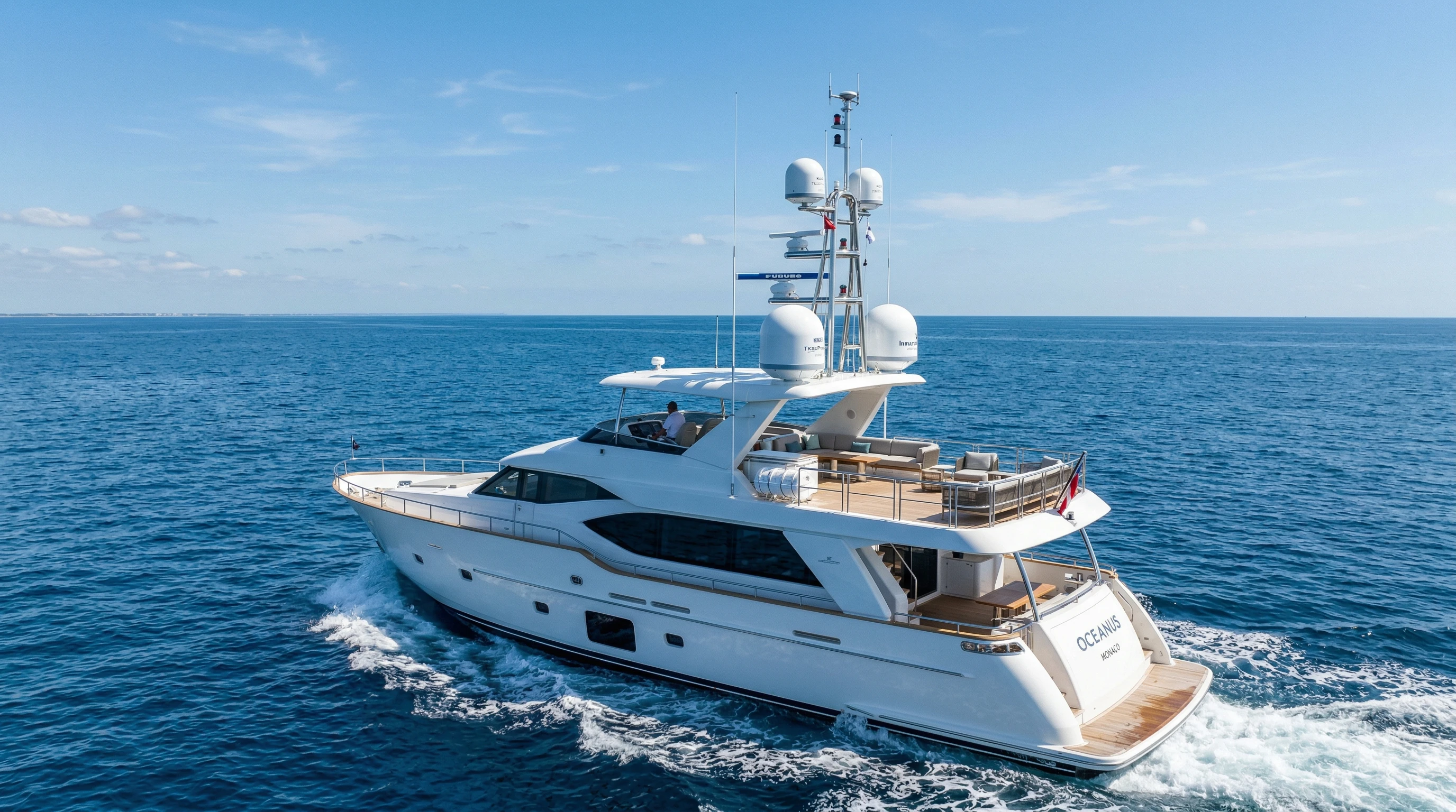
Setting up GPS satellite communications on my boat started with a few key choices and steps that anyone can follow. Even if you’re new to electronics, understanding the main components involved goes a long way. The cornerstone is a marinerated GPS receiver, which grabs signals from satellites in orbit. For two way communications or weather updates, a satellite communicator or satellite phone links you back to land via a dedicated satellite network.
Here are the main pieces to include:
- Marine GPS Receiver: This device connects to several satellites at once. It shows your boat’s position, speed, and heading on a robust onboard display or chart plotter.
- Satellite Phone or Communicator: These tools let me send texts, emails, or even make calls from places where normal phones lose coverage.
- Antennas: Proper marine antennas ensure that GPS and satellite devices can catch and transmit signals in all weather conditions.
Getting these set up usually just means mounting and wiring them correctly, installing any software, and making sure everything has a clear line of sight to the open sky. Manufacturers walk you through this process, but professional installation can be worth it for larger vessels or complex systems.
How Satellite GPS Improves Boating Safety
Safety is at the core of my decision to invest in GPS satellite communications for my boat. Onboard GPS systems keep me well informed about my position, water depth, and route. If I ever face fog, storms, or lose visual landmarks, satellite navigation for boating gives me the confidence to steer clear of danger. I also stay updated on approaching weather and changing currents, which is really important when conditions shift fast off the coast.
The biggest boost, though, comes with the ability to call for help in remote waters. If I run into trouble, like engine failure, bad weather, or even a medical emergency, a satellite communicator lets me send my GPS location and details to rescuers instantly. Some units have SOS buttons that send messages straight to emergency services, sharing critical data without wasting time.
Having used these features on long offshore trips, I know firsthand that being able to share my precise position anywhere in the world takes a lot of stress out of the adventure. It helps both experienced captains and beginners respond quickly to unexpected problems.
Another safety benefit comes from digital chart and update integrations. Satellite connected devices can receive real time updates on navigational hazards, tides, or restricted areas, making it easier to avoid new dangers, or even reroute if a problem arises. So, not only are you covered in emergencies, but you’re also always tuned in to the latest information for smarter, safer boating.
Comparing GPS Satellite Services for Boats
Choosing the right GPS satellite service for your boat can feel tricky with so many options available. I’ve tried different services and found that your choice depends on factors like the type of boating you do, your budget, and what features you want. Here’s a rundown of the main satellite providers and what they offer:
- Iridium: Iridium is known for its truly global coverage, including polar regions. It’s often recommended for offshore fishing, ocean crossings, and bluewater cruising, since the network rarely loses a signal.
- Inmarsat: Inmarsat covers most of the globe, missing only the most remote polar spots, and supports voice communication, weather data, and tracking.
- Globalstar: Globalstar is more affordable for North America, Europe, and some coastal areas. It’s a solid option if you mostly boat near land but still want peace of mind.
When I compare GPS satellite services for boats, I look at not just coverage, but also data speeds, emergency response quality, device compatibility, and ongoing subscription costs. Most boating forums share reviews on response times and reliability during emergencies, which is super helpful when picking the best satellite GPS for offshore boating or for short trips near the coast.
You may also want to check out combo satellite and cellular devices. Some newer models use satellite networks far from shore but switch back to cellular automatically when you’re near land, helping you save on satellite data costs. This hybrid approach means you don’t pay more than needed, but can still rely on satellite capability when it truly matters.
Advanced GPS Features for Sailing and Offshore Boating
Once you move beyond basic navigation, advanced GPS features for sailing add serious value. Today’s marine GPS units handle way more than plotting routes. Here are features I use regularly:
- Real Time Weather Overlays: My plotter shows approaching squalls, currents, and sea temperatures, matching my position with live satellite maps.
- Automatic Route Optimization: The system can adjust courses to avoid hazards or hit your destination using the safest, fastest path given current weather and tides.
- Collision Avoidance: Advanced units connect with AIS (Automatic Identification System) to mark other vessels nearby and help me steer clear.
- Integrated Alarms: I set alarms for depth, anchor drift, route deviation, or upcoming navigation marks. The system reminds me before anything goes wrong.
- Wireless Remote Access: Some chartplotters let me check and update routes using my phone or tablet, handy for big boats or when I want to plan below deck.
Yacht owners especially benefit from these high tech navigation tools for boats, but I’ve seen them adopted on everything from weekend fishing boats to serious expedition yachts. The technology is now accessible at every price point, letting more boaters explore confidently.
Modern chartplotters often include data logging and analysis functions. I sometimes use these logs to review routes after a trip helpful for planning future adventures or spotting areas where I can improve efficiency. Extra mapping and tracking data also help charter operators or research vessels manage trips and report activity more accurately.
What to Consider Before Choosing a Satellite GPS System
Upgrading to a new marine GPS system with satellite capability was one of my best decisions, but it took a bit of research. Here are the areas I looked at before making a purchase:
- Coverage Needs: If I’m sticking close to shore, a basic model with cellular backup works fine. For big offshore trips, true global satellite coverage is a better choice.
- Power Supply: Marine units use a lot of power, so I make sure my electrical system can handle it and invest in backupbatteries.
- Durability: All equipment needs to be waterproof, salt resistant, and sturdy enough for rough seas.
- Data Plans: Monthly or annual satellite subscriptions vary. I compare costs and make sure to pick one that fits how much I actually go boating.
- Integration: The best satellite GPS for offshore boating syncs with my radar, sonar, and autopilot, making the entire navigation system smarter and easier to use.

Another issue is device simplicity and interface. Some systems are highly complex, while others focus on clean, easy to follow displays. If you often boat solo or in challenging conditions, like rough seas or at night, it’s worth paying extra for a userfriendly and bright display. Also, make sure your chosen system supports the charts and maps you use most for your area, check out available updates and downloads before committing.
Typical Challenges When Using Marine GPS Satellite Communications
Sometimes technology comes with a learning curve, even on the water. Here’s how I work around a few common challenges:
- Signal Blockage: Nearby cliffs, bridges, and canopies sometimes block signals temporarily. Placing antennas in open spots on the boat keeps this to a minimum.
- Subscription Costs: Satellite coverage brings ongoing monthly or yearly costs, which can add up fast. I avoid extras and review my usage so I only pay for what I use.
- System Updates: Keeping my devices updated helps them run efficiently, so I always do firmware updates before a big trip.
- Electrical Failures: I back up my main system with portable GPS units or handheld communicators so if the main gear fails, I’m not left stranded.
One more challenge is learning the ins and outs of map overlays and features. With some hands on trial during calm days, I was able to get over the initial hurdles. If you’re unsure about proper settings or best practices, many manufacturers and forums offer video tutorials and community support to help.
Advanced Tips for Getting the Most Out of Your GPS Satellite System
After a few seasons using different satellite communication tools for yachts and smaller boats alike, I’ve picked up some habits that help every trip go smoothly:
Save and Share Routes: I always save favorite anchorages and tricky entrance routes within my GPS chartplotter. Sharing custom routes with friends via satellite text or email is easier than ever.
Remote Diagnostics: Many high end systems support performance checks and remote troubleshooting over satellite links, saving time if something acts up offshore.
Personal Tracking: Family and friends can track my exact location through a web portal, which is reassuring when I’m far away and out of cell range.
Weather Integrations: Integrated weather warnings mean I get updates and alerts about wind shifts, rain, and rough seas early, so I can change plans before conditions get unpleasant.
Taking the time to learn your GPS’s features pays off quickly. Practice using waypoints, tracking, and sharing functions on short local trips before heading to remote waters.
Additionally, I recommend customizing alarms for shallow water, storm warnings, and restricted areas. These alerts have saved me more than once from getting too close to danger or drifting at anchor. Combine your system’s tracking with a safety plan, leave your route with someone on shore and enable check in texts when you’re on longer journeys. These small steps help make sure someone knows where you are if something unexpected comes up.
Examples of How GPS Satellite Communications Change Boating
Here are a few real life situations where GPS satellite communications made a big impact for me and fellow boaters:
- Emergency Situations: I know cruisers who ran aground in the Bahamas. With built in SOS on their satellite device, help arrived way sooner than if they’d tried to radio from a dead zone.
- Extreme Destinations: On Arctic expeditions, GPS satellite tools provided data and rerouted us around unexpected ice floes, saving both time and fuel.
- Connecting to Shore: Even simple things like being able to text home or download last minute route changes offshore has made long passages less stressful for me.
- Solo Sailing: A friend completed a solo ocean crossing. Satellite check ins let him update his position each day for safety, and friends could follow his adventure online.
Modern satellite navigation for boating goes beyond plotting a line on a chart. These systems become your lifeline and a daily tool for safe exploration, wherever you go.
I’ve also seen how teams use tracking features for group flotillas or rallies, making it easier to pace the group and coordinate support boats even across vast distances. For research, eco tours, or even fishing tournaments, GPS satellite logs help verify routes and catch locations, adding extra value and reliability to on the water experiences.
Frequently Asked Questions
Question: What’s the difference between standard GPS and satellite GPS for boats?
Answer: Standard GPS gives you position and navigation, but adding satellite communications means you can send and receive data, get weather, and reach help anywhere, even without cell coverage.
Question: Do I need a subscription service for marine satellite communications?
Answer: Yes, most satellite GPS and communication tools require ongoing subscription plans, which vary based on data, coverage area, and usage level.
Question: Can I use my phone for GPS navigation offshore?
Answer: Phones are handy close to shore but lose signal offshore. Satellite GPS devices work anywhere on the water, and most modern tools can sync with your phone for display or messaging, even if cell service is unavailable.
Question: How do I keep my GPS satellite equipment safe from water and salt?
Answer: I choose fully waterproof, marinerated devices, use spray covers, and do regular cleaning and maintenance to keep everything running smoothly.
Is GPS Satellite Communication for Boats Worth the Investment?
Bringing GPS satellite communications onto your boat might seem like a big step, but from my experience, it’s a game changer for security and peace of mind. Whether you cruise the local lake, sail the coast, or aim for transoceanic voyages, these systems deliver practical benefits every day. The options keep getting better and more affordable, so now’s a great time to upgrade or add new tools. Plan your system around how and where you boat, learn how it all works, and you’ll get more out of every trip, while staying much safer on the water.
If you boat with family or organize group trips, these systems give everyone an extra layer of confidence. With global coverage, smart navigation planning, and real time support from shore, GPS satellite communications let you squeeze the most enjoyment and safety from every trip, no matter where your next destination may be.
This article was created with AI assistance and reviewed by a human editor.
About The Author


