Locating a specific reef or underwater wreck by sight alone can be frustrating. I deal with ever-changing currents, endless stretches of open water, and a horizon that rarely offers easy clues. Without visible markers or reference points, finding the right spot often turns into guesswork. This is where GPS navigation for reefs makes a huge difference. With reliable GPS, finding and returning to productive underwater structures becomes much more straightforward, even in the middle of nowhere.
How GPS Technology Aids Reef Exploration
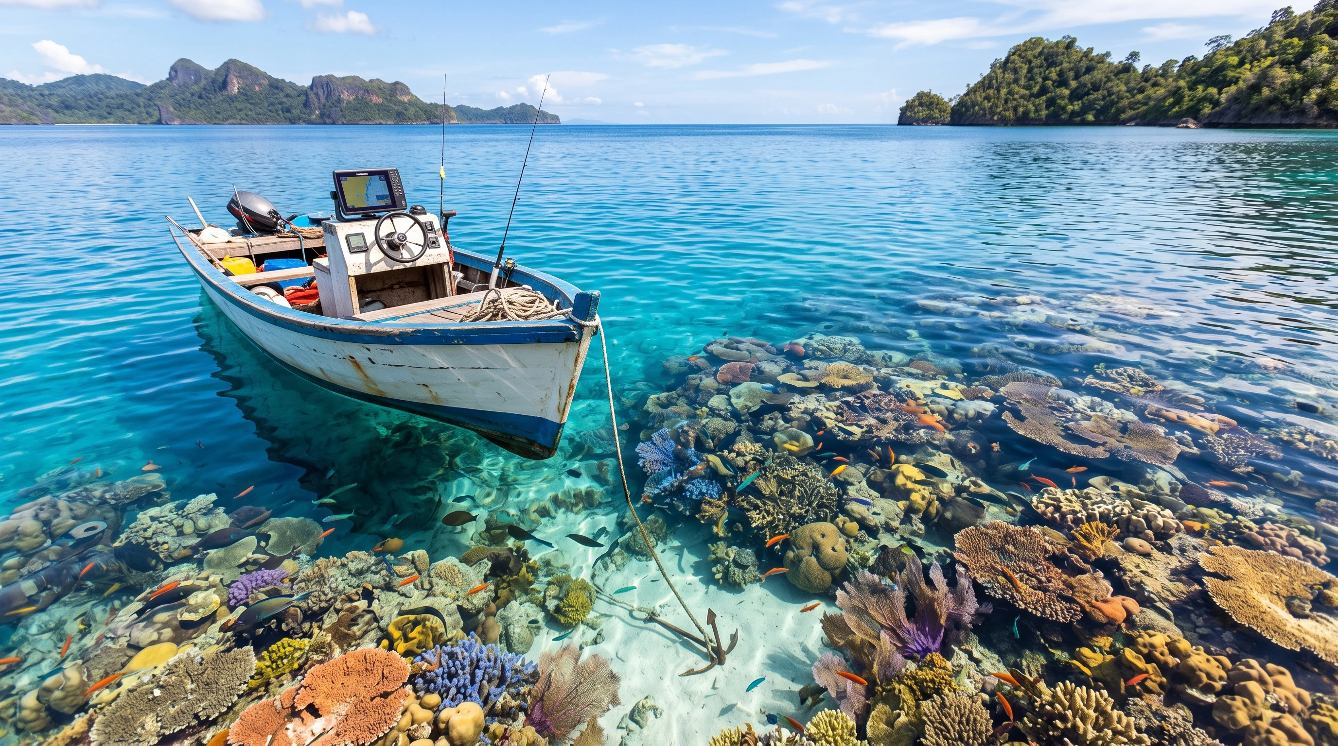
For boaters and divers, understanding how GPS technology works can make reef searching far less of a challenge. GPS, also known as the Global Positioning System, uses satellites to provide precise coordinates for my exact location. A GPS receiver picks up signals from at least four satellites overhead and uses those signals to calculate my position. Most marine GPS units offer accuracy to within just a few meters, which is really important when I need to anchor or start a dive right above a small structure.
Precision matters, especially when reefs and wrecks may only be a few dozen meters across or partially hidden. Even a slight error in location can send me off course, so I always value a GPS with a reliable, fast signal lock and strong reception. For those new to marine navigation, a clear display of latitude, longitude, and mapping overlays makes it much easier to understand exactly where I am and where I need to go next. Some GPS units go a step further, featuring alarm systems that notify you if you drift off the target spot, which has definitely saved me from extra effort time and time again.
GPS Mapping for Underwater Structures
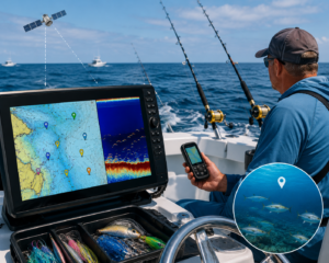
Mapping underwater structures goes way beyond just watching a GPS arrow move across a blank screen. With today’s marine chartplotters, I can view detailed nautical charts and mark waypoints with precise coordinates. A waypoint is basically a stored location; think of it as a pin on a digital map. Whenever I find a productive reef or sunken wreck, I drop a waypoint at that exact spot so I can return in the future without searching again.
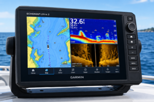
Many GPS chartplotters also come with bathymetric data, which shows underwater depth contours and helps identify likely locations for reefs, ledges, or rock piles. Mapping features let me record and label numerous sites- natural reefs, artificial wrecks, or hidden rock structures- and quickly go back when conditions are best for diving or fishing. Storing waypoints and tracks means I can build my own catalog of favorite sites, making every trip on the water more productive. Advanced units often let me sort these waypoints by type, date, or custom tags, making it easy to organize information and share insights with others who love reef diving as much as I do.
Best GPS Features for Diving and Reef Finding
Choosing a GPS unit for diving or marine use requires a focus on specific features that suit this unique environment. Waterproof housing is basic; even a splash can spell trouble for sensitive electronics. I want a unit rated for full immersion and protection from saltwater spray. Waypoint storage is also really important because I often like to keep track of dozens or even hundreds of locations as I explore more reefs and shipwrecks.
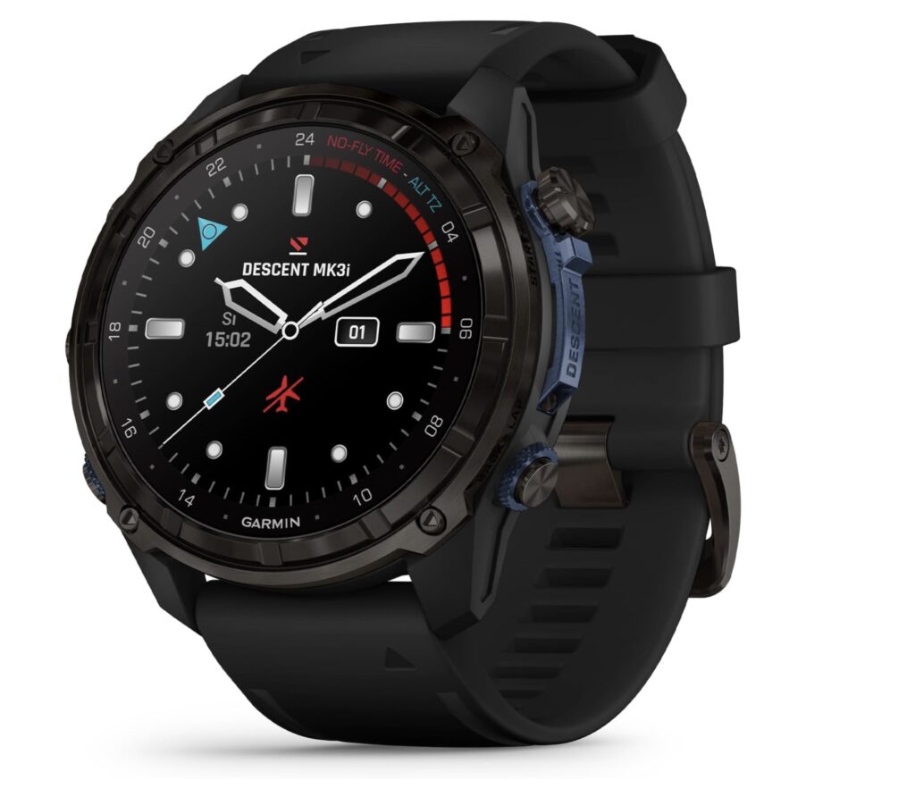
Screen visibility is something I pay close attention to. Bright sun and reflective water make many screens hard to read, so a display with high contrast and adjustable brightness is key. For divers, some GPS units now integrate directly with dive computers, letting me plan my route from the surface and then switch over to dive mode once I’m in the water. The most useful units let me set and view waypoints at the touch of a button, both above and just before entering the water. Some of the more high-end models even include wireless connectivity, so I can sync data with my computer or smartphone and review dive stats in detail after each outing. This not only adds convenience but also gives me peace of mind about backup and record-keeping, ensuring my adventure logs remain safe over time.
Practical Use: GPS for Boating and Reaching Dive Sites
Using GPS on the water begins before I even leave the dock. I start by studying nautical charts and setting waypoints at my planned destinations: reefs, dropoffs, or wrecks. Once underway, GPS in boating lets me follow an exact route, accounting for drift, wind, or currents that try to push me off track. Real-time adjustments allow me to correct course with a glance, and arrival alarms help avoid missing a small but important site.
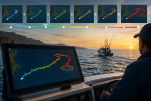
When I get close to a dive location, I shift focus from the big picture to precise positioning. Many times there are strong currents or limited anchoring options. I use my GPS to circle above the spot, watch the display, and only anchor or enter the water when I’m right on the mark. After the dive, I can log my track and review my route, which makes it easy to repeat successful trips or update notes about conditions for future reference. This system helps improve safety, too; having a reliable track of entry, descent, and ascent locations means my whole group stays oriented, and we can quickly regroup at the right spot if anyone gets separated.
Handheld GPS Units, Chartplotters, and Apps Compared
Choosing the right marine GPS navigation system comes down to how and where I plan to use it. Handheld GPS units are portable, battery-powered, and rugged, fitting in a pocket or gear bag. They’re great for small boats or kayak trips, but their screens can be tiny and less detailed than larger units. Chartplotters are usually mounted at the helm or dashboard and offer big, easy-to-read displays, detailed mapping, and integration with sonar and other marine electronics. However, they’re not as portable and can be expensive.
Phone apps are becoming more useful with improved mapping and GPS accuracy. Many allow me to download offline marine charts, record waypoints, and even share location data with others. The trade-off is that phones are more prone to water damage and sometimes lose accuracy offshore or in spotty service areas. For reef and structure fishing or diving, I often use a combination: a rugged handheld or chartplotter for navigation, and an app for logging or sharing sites with friends. Some seasoned divers have even adapted rugged cases or mounting systems for tablets, making map tracking more immersive and collaborative on group dives.
GPS for Underwater Navigation
Underwater navigation with GPS isn’t as simple as it is at the surface because satellite signals don’t penetrate water. Still, I can make GPS work in my favor. Before diving, I use my GPS to place a buoy, a weighted marker, or tag the exact entry and exit point. This surface reference lets me land directly above a reef, then descend with confidence that I’m right on target. When surfacing, I can easily swim back to the location with the buoy or follow a marked ascent line.
Many divers keep a log of their entry/exit coordinates to review later. Surface GPS marks combined with underwater compass navigation allow for much more accurate underwater exploration. Over time, these notes give me a growing map of my favorite reefs and structures, making return trips super simple and consistent. For pros who want to create ultra-detailed site maps, pairing GPS with sonar or underwater drone mapping can give you a complete, multidimensional map of dive targets, boosting success rate when exploring new spots.
Best GPS Apps for Reef Diving
The rise of smartphone GPS apps is opening up even more options for divers who want to explore reefs. The best marine GPS apps offer key features like offline map downloads, so I’m never left without a chart if I lose cell service. Tide data and current forecasts help me plan dives for safe, enjoyable conditions. Apps with community-shared waypoints mean I can stumble upon new sites that other divers have already found and marked. This makes trip planning feel a lot more social and flexible.
I always look for apps with easy waypoint management, backup/export tools, and support for custom maps. Some apps can be used alongside waterproof phone cases, but I try to keep my most important coordinates backed up to a separate GPS device just in case. A little extra planning with the right GPS app can help me find less crowded reefs and make each dive more rewarding. Some apps even have citizen science features, allowing users to log coral health or marine life sightings, helping researchers track changes in reef environments across the globe.
Building a Reef and Wreck Database with GPS Tracking
Tracking and recordkeeping is one of the greatest advantages of marine structure GPS tracking. Every time I visit a reef, ledge, or wreck and hit “mark,” I’m building an all-in-one personal database. Over time, my GPS holds hundreds of site coordinates, notes on species, conditions, depths, and even seasonal changes in fish or coral health. I can export these logs, share them with friends or dive clubs, or simply use them to plan my own return visits.
Reliable recordkeeping also means I’m less dependent on memory, which helps when I want to compare spots or recommend locations to others. My database becomes a living map of my underwater experiences, always ready for my next adventure or outing. Some divers use spreadsheet tools to sort and analyze site visits, making it easy to spot seasonal trends or improvements in reef health over time. Group trips also benefit from shared GPS databases; everyone on the team contributes new locations and info, maximizing the chances of successful discoveries on every outing.
Practical GPS Navigation Tips for Scuba Divers
I’ve picked up lots of practical tricks for using GPS in and around the water. Before heading out, I coordinate with buddy boats by sharing waypoints and planned routes, so everyone stays on the same page. Marking both entry and exit points with GPS helps track dives and keeps everyone oriented, especially if the weather or current changes during the day.
No navigation tool is perfect, so I always keep backup options ready. I bring a handheld compass, maintain a physical chart, and make sure my GPS is fully charged with fresh batteries or spare power sources. Testing GPS waypoints ahead of leaving the dock, doublechecking stored locations, and practicing quick adjustments to routes are all habits that make on-the-water navigation less stressful and way more reliable. Over time, I’ve learned to adapt to the inevitable surprises that open-water adventure brings unexpected currents, equipment glitches, or changing conditions and my GPS skills help keep me going, ensuring I make the most of each trip.
With the right equipment and a good routine, GPS navigation transforms reef and wreck diving from a guessing game into a repeatable, enjoyable experience. I never stop learning from each trip, updating my records, and enjoying how much easier it is to explore hidden underwater worlds with the help of marine GPS navigation systems. Whether I’m planning a return to a favorite haunt or getting into a brand new reef site, GPS gives every outing a foundation of confidence and discovery that keeps me coming back for more.
This article was created with AI assistance and reviewed by a human editor.
About The Author