Every trip on the water depends on knowing where you are, where you are headed, and what lies between the two. Marine GPS accessories turn a position fix into something you can act on: a clear chart, a dependable heading, a signal that reaches other boats, and a record of the spots worth returning to. This site covers that gear for people who spend real time on the water.
Welcome to your marine navigation destination
If you run a center console off the coast, a cruiser on a bay, or a fishing boat that works offshore ledges, this site is meant for you. It focuses on marine GPS accessories: the antennas, chartplotters, handheld units, mounts, cables, and add-ons that determine how well your navigation works day to day.
Most boaters upgrade for a practical reason. The screen is hard to read in sunlight, the old unit cannot hold the charts they want, the GPS signal drops at the helm, or a new radio needs a position feed it cannot get. Each problem has a specific fix, and the right fix depends on your boat, your water, and how you use both.
The guides here explain how each piece of equipment works and what to look for before you buy. The product recommendations are organized by how you boat rather than by brand, so you can start with your situation and narrow it down from there.
Why precision navigation matters for every voyage
Navigation errors are rarely dramatic at first. A slightly off position, an outdated chart, or a heading you trust too much can each be harmless on a calm day in familiar water. The same errors cost you in fog, at night, in a building chop, or on an unfamiliar inlet where the channel is narrow, and the shoals are close.
Safety starts with knowing your position
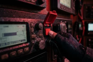
When something goes wrong, your position is the first thing anyone needs. A VHF radio with a working GPS feed can send your coordinates with a digital distress call, which saves time when you may only be able to press one button. A radio without position input cannot do this, and you would have to read out coordinates by voice while dealing with the emergency.
Precise navigation also helps you avoid trouble in the first place. Rocks, bars, wrecks, pilings, and crab pot fields are easier to steer around when your plotter shows your boat in the right place on a current chart. Tracking your route lets you retrace a safe path home if visibility closes in.
Accuracy depends on more than the unit itself
The receiver is only one part of the system. Antenna placement matters because the antenna needs a clear view of the sky, and a spot under a hardtop, a radar arch, or a tangle of other antennas can weaken the signal. Many receivers also use satellite-based augmentation systems to refine position, such as WAAS in North America and EGNOS in Europe, so check that your equipment supports the system covering your waters.
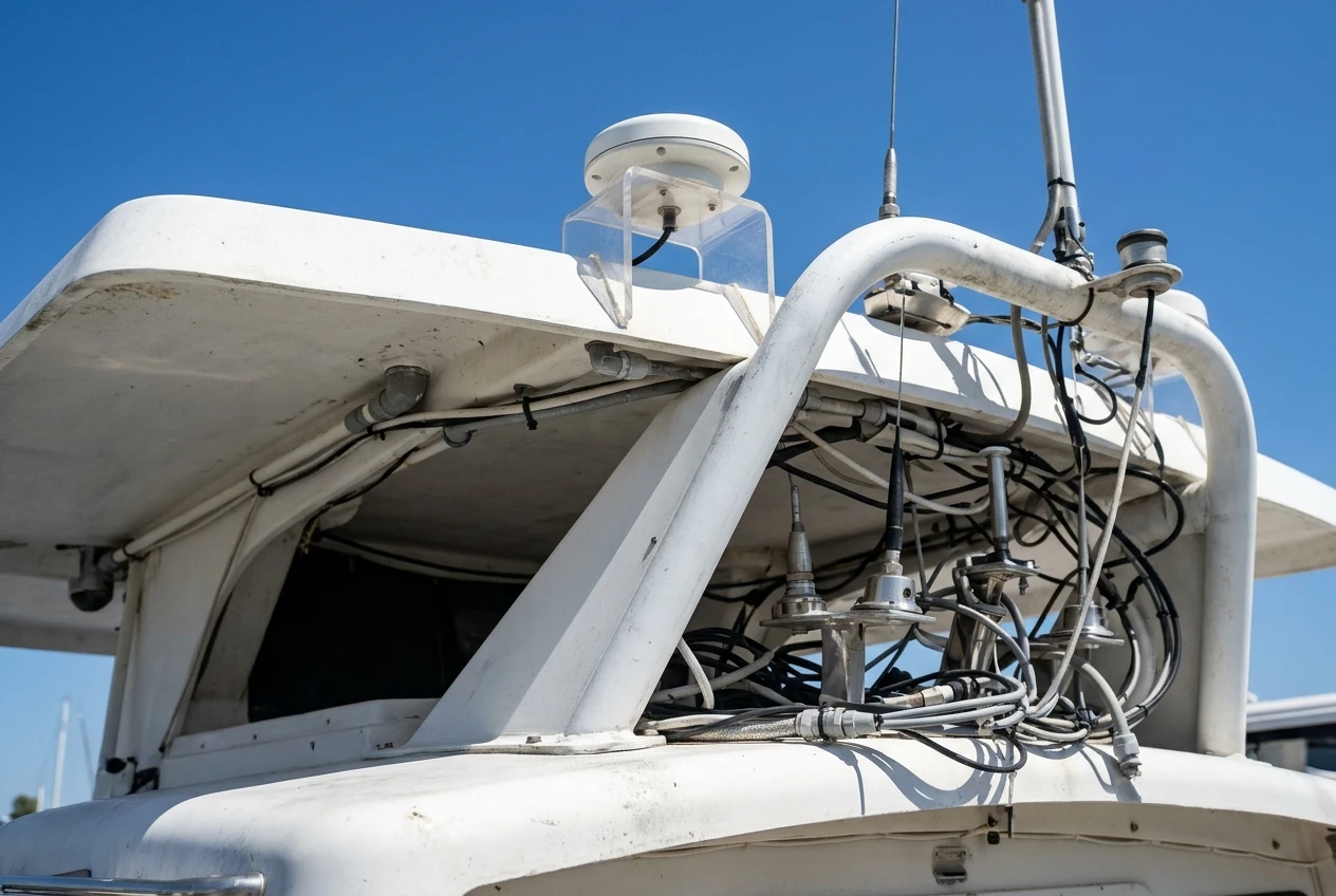
Chart data matters just as much. A precise position drawn on an old chart still gives you a wrong picture of the bottom. Charts need updating, and your plotter should accept the chart sources you prefer.
Treat GPS as one layer of your navigation. A magnetic compass, paper charts for your home waters, and a handheld backup with its own power give you options if the main system fails, loses power, or is damaged by water.
Efficiency pays off on every trip
Good navigation saves fuel and time. A clean route that avoids detours and slow-going through shallow areas means you burn less fuel getting where you need to go. If your plotter can show distance, speed, and estimated arrival, you can judge whether you have enough fuel and daylight for the run home before you commit to the next stop.
For offshore anglers, the benefit is concrete. Marking a wreck, ledge, reef edge, or temperature break and returning to the same spot depends on a position you can trust and a unit that stores waypoints reliably. More time spent fishing the productive water means less time searching for it.
How we help you choose the right gear
Choosing navigation equipment is easier when you first answer a few questions about your own boating. The guides on this site are built around those questions, so you can work through them before you compare any model.
- Where do you boat? Protected inshore water, open coastal runs, and offshore trips each demand different range, chart coverage, and backup equipment.
- How much helm space do you have? The screen size has to fit the dash, leave room for other instruments, and stay readable from where you stand or sit while underway.
- What do you already own? A new plotter should connect cleanly to your existing radio, radar, sonar, autopilot, and engine data. Equipment generally uses standards such as NMEA 0183 and NMEA 2000, so checking which your gear uses helps prevent compatibility problems.
- How will you operate it? Touchscreens work well in calm conditions but are harder to use with wet hands or in rough water. Physical keys and knobs are easier to use in those situations, and some units offer both.
- How bright is your helm? An open boat in full sun needs a bright, anti-glare display. A cabin helm has different needs.
- What is your power situation? Check the unit’s voltage requirements, what it draws, and whether your electrical system and fusing can support it.
The recommendations then group equipment by use, such as fishing, cruising, or coastal day trips, and explain the trade-offs in plain terms. Where a specification matters, such as supported chart formats or network connections, the guides tell you what to look for. Always confirm the exact specifications and current pricing with the manufacturer or retailer before buying, because models and features change.
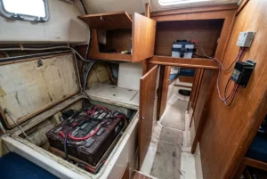
Installation gets attention too. A good unit installed badly performs badly. Guides cover antenna positioning, cable routing, wire gauge, connectors, sealing, and keeping electronics away from interference sources, so your equipment performs as it should.
Top navigation categories to explore
Browse by category to find the gear that fits the gap in your setup.
Chartplotters and multifunction displays
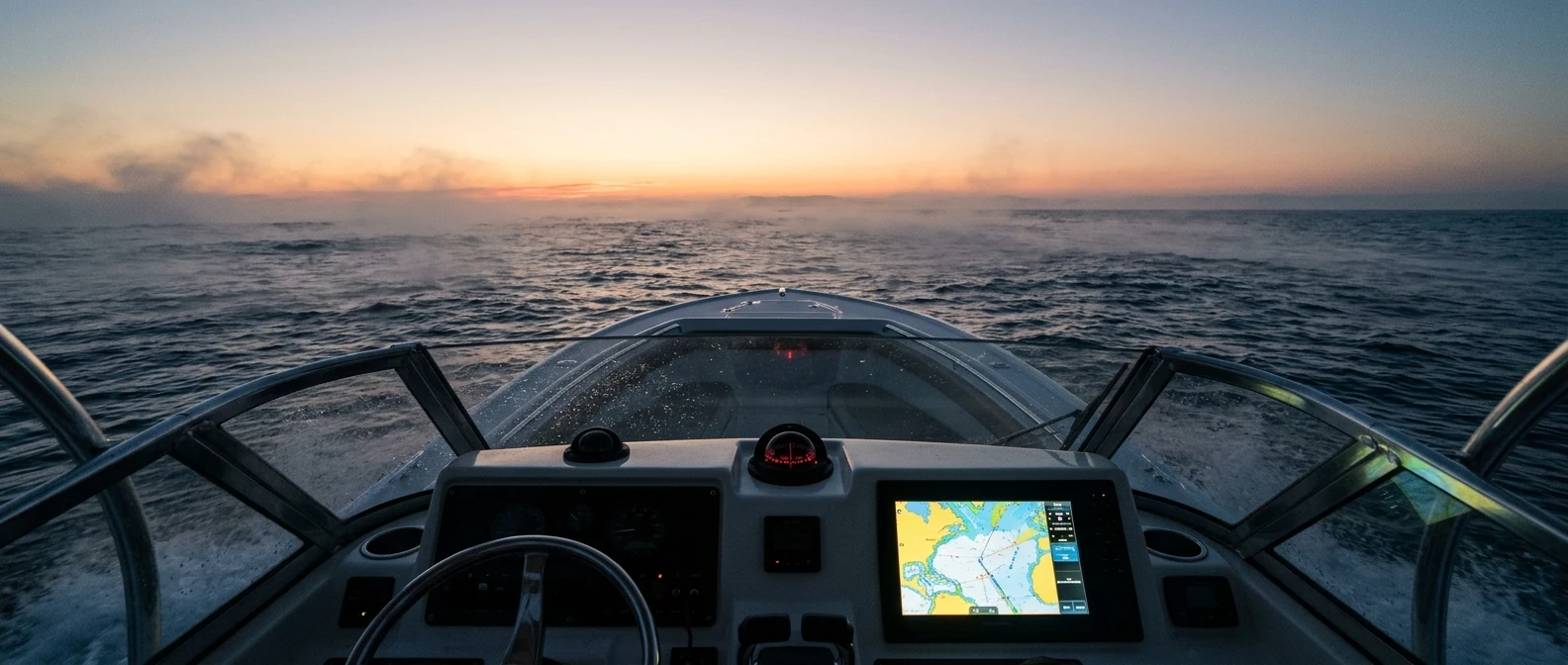
This is the center of most helm electronics. A chartplotter shows your position on a chart, stores waypoints and routes, and often combines radar, sonar, AIS, and engine data on one screen. The guides cover screen size, chart compatibility, networking, and how to match a display to your boat.
GPS antennas and external receivers
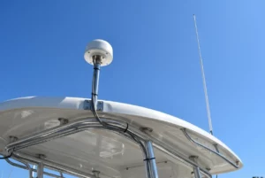
A separate GPS antenna can give a better signal than the receiver built into a display, especially when the display sits somewhere with poor sky view. This category covers antenna types, mounting options, cable length, and compatibility with your existing network.
Handheld GPS units
A handheld unit serves as a backup when your main system fails, and you can take it with you in a dinghy, on a kayak, or in a ditch bag. Check battery life, water resistance, screen visibility, and whether it can store the charts you need.
VHF radios with GPS and digital selective calling
A modern fixed-mount VHF can use a GPS position to send a digital distress alert that includes your location. Many handheld radios offer similar features. Guides here explain what the feature does, what it needs to work, and what you must set up before you rely on it.
AIS receivers and transponders
Automatic Identification System equipment shows nearby vessels that broadcast their position, course, and speed. That helps in busy channels, in low visibility, and near shipping lanes. A receiver lets you see other vessels, and a transponder also lets them see you.
Cables, networks, and connectors
Many navigation faults trace back to a loose connector, an undersized wire, or a network that was never terminated properly. This category covers backbone cables, T-connectors, adapters, and the practical details of building a reliable electronic network on a boat.
Mounts, covers, and protection
Brackets, flush-mount kits, sun covers, and screen protectors keep your displays secure and readable. Salt, sun, and vibration wear out electronics, so protective gear lengthens the life of what you have already paid for.
Charts, software, and updates
Charts are the data your plotter uses, and the guides explain differences between chart sources, regional coverage, and how updates are delivered. Keeping charts current is one of the cheapest ways to improve your navigation.
Pick the category that matches what you want to fix first, read the guide, and compare options with your own boat in mind. Explore our expert guides and product recommendations.
This article was created with AI assistance and reviewed by a human editor.
Disclosure: This post contains Amazon affiliate links. If you buy through them, we may earn a small commission at no extra cost to you.