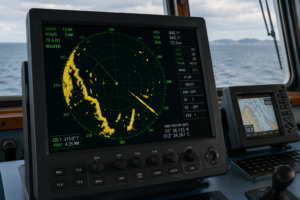
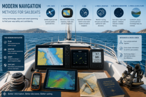
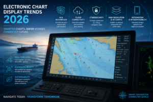
Marine GPS navigation systems play a foundational role in modern maritime safety. Whether I’m piloting a fishing boat near shore or plotting a route across an ocean, reliable satellite navigation can help prevent groundings, avoid collisions, and keep vessels on course. As satellite navigation technology continues to advance, mariners now have access not only to GPS but also to several other global navigation satellite systems, each offering unique features and performance levels. Checking out these options is essential for anyone aiming to get the most from satellite navigation while on the water.
Understanding GPS in Marine Navigation
Most boaters and shipping professionals know GPS as the gold standard in marine navigation satellites. GPS, which stands for Global Positioning System, is the United States’ satellite navigation system. First developed for military uses in the 1970s, GPS became fully operational for global civilian use in 1995. Today, receivers on recreational boats, cargo ships, fishing vessels, and emergency craft all rely on GPS for real-time location information and precise timing.
GPS consists of a constellation of over 30 satellites orbiting at an altitude of about 20,000 kilometers above Earth. These satellites constantly transmit signals that receivers use to calculate their exact position by triangulating data from at least four satellites at a time. One of the reasons GPS is so heavily relied upon is its global coverage. Whether I’m navigating the Panama Canal or crossing the open North Atlantic, GPS typically offers reliable location data, accurate to within a few meters. This level of availability and accuracy is why GPS has set the standard for the best marine navigation satellites over the past few decades.
Over time, GPS technology has improved significantly. Modern GPS receivers support WAAS (Wide Area Augmentation System), EGNOS (European Geostationary Navigation Overlay Service), and other regional augmentation networks to step up positional accuracy, sometimes down to less than a meter. Safety features such as man-overboard tracking and GPS-linked AIS (Automatic Identification System) now give mariners powerful tools to monitor vessels and respond promptly in emergencies. The affordable costs and integration into smartphones and tablets have also made GPS a daily staple for both professional mariners and recreational boaters.
GLONASS and How It Stacks Up Against GPS
GLONASS is Russia’s global satellite navigation system and is the second most widely used option after GPS. Like its American counterpart, GLONASS is fully operational worldwide, making it a solid backup or companion to GPS. When I’m relying on marine navigation satellites at high latitudes, for example in Arctic waters, GLONASS sometimes outperforms GPS because its orbital arrangement provides stronger coverage closer to the poles. This is especially helpful for research ships, polar cruises, or commercial fishing in the far north.
One of the main differences in a GLONASS vs GPS comparison comes down to satellite geometry and coverage. While GPS satellites are distributed to cover the entire globe, they may not always offer the strongest signal near the poles. GLONASS has slightly different satellite spacing, which can help fill in gaps at these high latitudes. For most marine use outside the polar regions, both systems deliver a similar level of accuracy, generally within 3 to 7 meters. Receiver compatibility is another factor to consider. Many popular marine GPS navigation systems can receive both GPS and GLONASS signals, providing more satellite fixes, quicker location lock, and an extra layer of reliability if one system experiences outages or interference.
GLONASS receivers also benefit from fast time-to-first-fix (TTFF), meaning they can acquire a position quickly after being powered on. This is particularly useful for mariners who may power up systems at the dock or after a long layover. Additionally, Russian authorities have focused on improving anti-jamming features and signal integrity in GLONASS, making it a robust solution where radio interference is a concern.
Benefits of BeiDou for Marine Navigation
China’s BeiDou satellite navigation system is relatively new on the global stage. Initially launched to serve Asia-Pacific, BeiDou now provides global service, with over 35 satellites in orbit as of 2024. For anyone operating in Asian waters, especially along China’s coastline, BeiDou can deliver improved accuracy and reliability. This is partly due to its combination of geostationary and medium Earth orbit satellites, which can offer more frequent signal updates in regional zones.
Exploring the top features of BeiDou satellite technology, I see several practical perks for navigation. BeiDou receivers can offer two-way messaging in certain models, providing an emergency signal or communication lifeline in remote waters. Signal integrity and anti-jamming features are well developed in BeiDou, which can be a real benefit in regions with heavy electronic interference or in situations where reliable communication is critical. Beyond this, BeiDou’s expansive satellite network in the Asia-Pacific region offers increased redundancy and higher availability for mariners in these waters.
Globally, BeiDou’s accuracy now rivals GPS and GLONASS, typically within a 3 to 5 meter radius for civilian receivers, and sometimes even better in Asian coverage zones where satellite density is highest. Receiver support is growing quickly as more manufacturers include BeiDou compatibility in new marine electronics. For ships trading among China, Southeast Asia, and neighboring regions, adding BeiDou capability can provide peace of mind and an additional navigation resource beyond the more established marine GPS systems.
As regulatory and commercial incentives in Asia make BeiDou the standard, innovations such as integration with port services for automated docking and cargo tracking are being piloted, leveraging BeiDou’s unique capabilities. Mariners in these regions benefit from combining BeiDou with GPS or GLONASS for superior accuracy in busy or restricted coastal areas.
Galileo’s Navigation Advantages at Sea
The Galileo satellite navigation system is the European Union’s answer to GPS, designed specifically with civilian and commercial needs in mind. Officially declared operational in late 2016, Galileo delivers global service using more than 20 satellites. From my own work on European coastal ferries and transatlantic voyages, I see Galileo as a strong supplement to GPS, offering improved accuracy, redundancy, and civilian-friendly design.
One major benefit is the navigation accuracy of Galileo system receivers. Galileo aims for civilian accuracy, typically better than 1 meter under good conditions, which is often slightly superior to that of other systems. Some Galileo receivers also include authenticated signals and improved integrity monitoring, so I can trust the position data even in busy sea lanes or when near GNSS jammers.
Cargo ships, survey vessels, and pleasure boats outfitted with Galileo-compatible gear can get the best of both worlds: reliable global service plus enhanced accuracy in European waters. Galileo also offers an open service, a high-accuracy service, and search-and-rescue capability that allows distress signals to be relayed from ships at sea. The system is designed to avoid signal blockage in urban or mountainous areas, which is helpful when navigating complex coastlines or estuaries with cliffs.
As Galileo coverage has expanded, more marine electronics brands have rolled out firmware updates that let current devices process Galileo signals alongside GPS and GLONASS. The resulting accuracy improvements are especially noticeable during approach phases and in busy traffic corridors. These advances mean that for many European mariners and those on international trade routes, investing in Galileo-ready navigation gear ensures greater confidence in day-to-day operations.
Head-to-Head Comparison: How Satellite Navigation Systems Perform at Sea
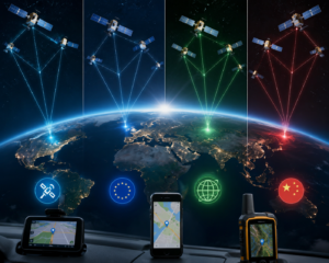
Sorting out the top satellite navigation systems, especially for marine use, depends on several key factors: accuracy, coverage, availability at sea, and reliability. Here is a breakdown that highlights the main differences among GPS, GLONASS, BeiDou, and Galileo.
| System | Global Coverage | Typical Accuracy (meters) | Polar Coverage | Unique Advantages |
|---|---|---|---|---|
| GPS | Yes | 3–5 | Moderate | Most widely supported by marine devices, robust infrastructure |
| GLONASS | Yes | 3–7 | Very strong | Best coverage for polar and high-latitude waters |
| BeiDou | Yes (best in Asia-Pacific) | 3–5 (Asia); 5–10 (global) | Expanding | Improved signals in Asian regions, two-way messaging, and modern anti-jamming |
| Galileo | Yes | 1–3 | Good | High accuracy, advanced authentication, and a focus on civilian needs |
For redundancy and reliability at sea, using more than one satellite system makes it easier to stay on track even in tough weather, near shore, or under heavy canopy. Most of today’s marine navigation systems can use signals from several of these constellations at once, giving me extra peace of mind during long crossings or when approaching busy ports.
The combination of different systems not only increases the number of satellites in view but also makes the position calculation more robust in difficult environments, such as coastal areas with many obstacles or regions with sporadic signal disruptions. It is worth noting that the relevant marine navigation satellites may be periodically tested or updated, so ongoing manufacturer support is necessary to maintain up-to-date firmware and reliable performance.
When GPS Alternatives Make Sense for Marine Use
Sometimes relying only on GPS might not be enough for consistently reliable marine navigation. Heavy cloud cover, satellite outages, military disruptions, or localized jamming can all impact GPS accuracy or availability, even if only for a short period. In these moments, being able to switch to or combine other GNSS systems like GLONASS, BeiDou, or Galileo makes a real difference in both safety and convenience.
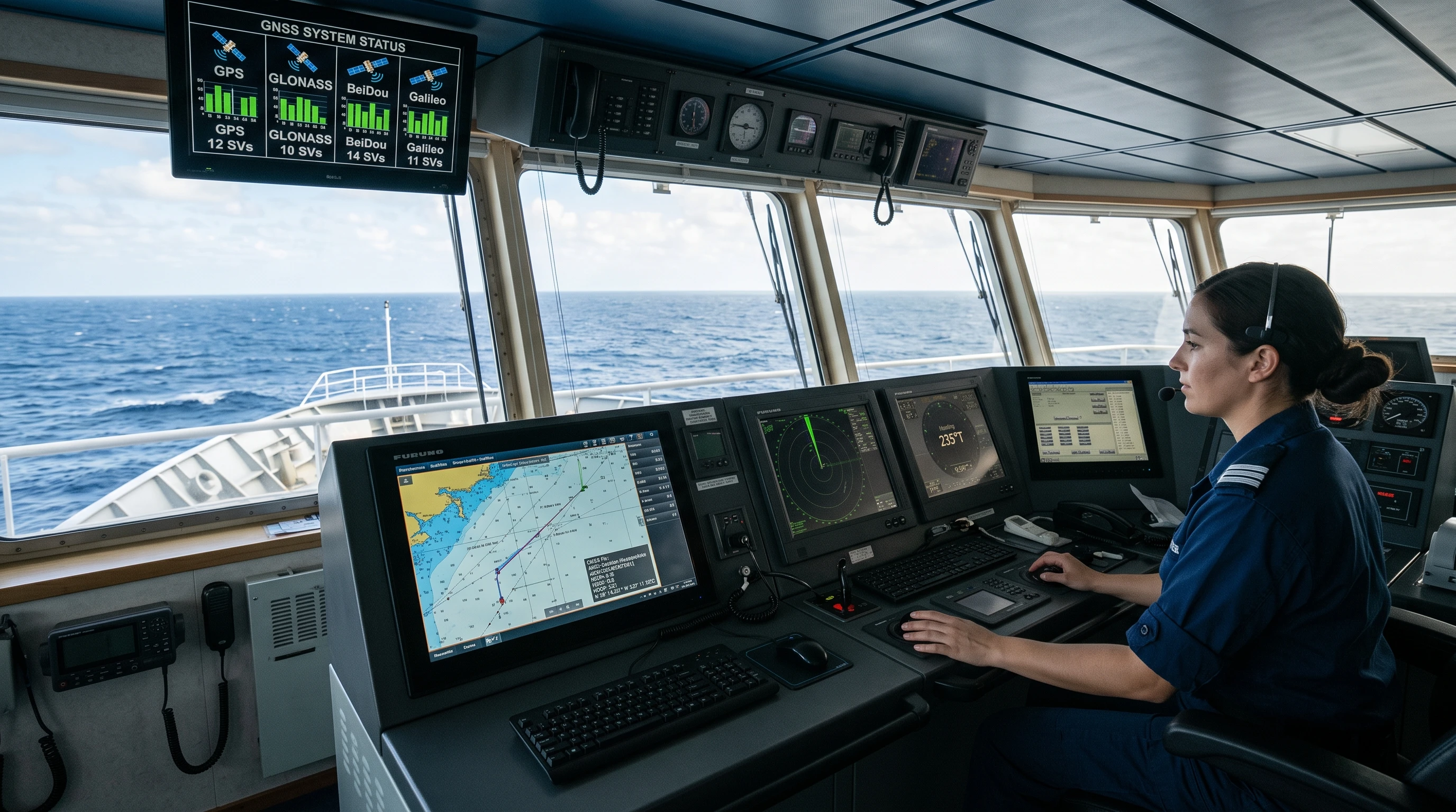
That’s why newer chartplotters and navigation systems often include multi-GNSS (Global Navigation Satellite System) receivers. These devices process data from two or more constellations simultaneously and automatically select the strongest signal or combine multiple inputs for more accurate location fixes. This improved redundancy lowers my risk of signal loss, especially when navigating near the coastline, between tall cliffs, or through fjords where single-constellation coverage could be blocked or distorted.
MultiGNSS systems give me the confidence to operate in busy shipping lanes, crowded harbors, or remote and challenging routes. For deep-sea passages or polar expeditions, using more than one constellation is now a smart precaution rather than just a bonus feature. In certain Asian, European, and Russian territorial waters, local regulations or practical experience might also lead one to favor a specific system, so having the flexibility to switch systems or use multiple in parallel helps maintain legal compliance and navigation reliability.
An additional benefit of multi-GNSS-enabled equipment is faster signal acquisition after startup and improved position-holding during sudden movements or turns. When combined with other sensors like electronic compasses and radar overlays, these systems provide a multi-layered safety approach that can be invaluable in emergencies.
Which Satellite Navigation Systems Fit Different Marine Scenarios?
With so many choices among marine GPS navigation systems and alternative satellite options, picking the right system or combination often depends on where and how I’m operating. In wide-open ocean crossings, a GPS receiver alone generally delivers all the reliability and accuracy I need, with worldwide coverage. Modern GPS-compatible receivers that also support Galileo can offer a small boost in accuracy and an extra safety net in case of technical issues with one constellation.
Along Asian coastlines, especially in the South China Sea, having BeiDou compatibility becomes far more useful. Strong signals and unique regional messaging features make a practical difference for fishing, shipping, and research vessels. For rides through Russian or Arctic zones, using GLONASS-enabled devices pays off with robust high-latitude coverage, which is especially key for polar explorers or research expeditions.
For most coastal and recreational boating, multi-GNSS receivers that read signals from at least GPS and Galileo (and ideally also support GLONASS or BeiDou) provide the broadest and most reliable experience. Many of the latest marine chartplotters and handheld navigation devices regularly update their software to include all four systems, so I make sure to use models that unlock these extra layers of navigation safety and accuracy, especially for longer trips or when traveling in unfamiliar waters.
For polar routes or high-latitude work, GLONASS and GPS together make a reliable team. When so much rides on precise location and timing, like during port entries, search-and-rescue operations, or nighttime navigation, a properly configured, multi-GNSS-enabled navigation station gives both professionals and nonprofessionals the peace of mind to operate safely, no matter the trip’s length or location.
Frequently Asked Questions
Is GPS still the best marine satellite navigation system?
For most global and coastal operations, GPS alone provides reliable, accurate positioning. However, using multiGNSS receivers that support GLONASS, Galileo, and BeiDou adds redundancy and can improve accuracy in specific regions, especially near the poles or in East Asia.
Can all marine GPS devices use signals from other satellite systems?
Not all marine navigation equipment is multi-GNSS compatible. Look for chartplotters and handheld receivers labeled as supporting GPS/GLONASS, GPS/Galileo, GPS/BeiDou, or similar combinations. Be sure to check for firmware updates that may add new satellite support to existing gear.
Are there legal rules about which navigation satellites I need to use?
Most recreational boats aren’t required by law to use a specific constellation, but international conventions and some regions (such as Russia and China) may encourage specific systems. For commercial shipping, requirements are sometimes set by safety regulations or local authorities.
Choosing the Right Navigation System for Your Maritime Needs
When I’m deciding which satellite system my vessel should depend on, I always consider the area of operation, the length of the trip, backup options, and device compatibility. For open ocean crossings and routine recreational boating, GPS remains a solid, reliable foundation. When sailing into polar, Asian, or European waters, or when I want the highest possible accuracy, I find it helpful to choose receivers that include Galileo, GLONASS, and BeiDou. This approach gives me a safety net and can deliver more accurate positioning, no matter the region or challenge on the water.
Keeping navigation gear up to date and knowing which satellite systems best serve my routes help maximize safety, accuracy, and peace of mind at sea. New generations of marine GPS navigation systems increasingly support all four major satellite constellations, making it easier than ever to take full advantage of satellite navigation on every ride. Whether I’m charting a new course across the ocean or sticking close to home along the coast, understanding my navigation tools helps ensure safer, more enjoyable adventures every time.
This article was created with AI assistance and reviewed by a human editor.
About The Author