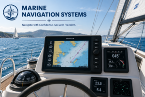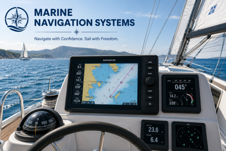
Figuring out marine navigation systems can feel like learning...
Marine Navigation Software
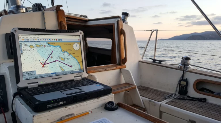
OpenCPN sailing software gives amateur sailors a practical way...
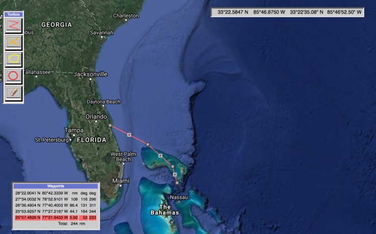
Can You really use Google Maps for Marine Navigation?...
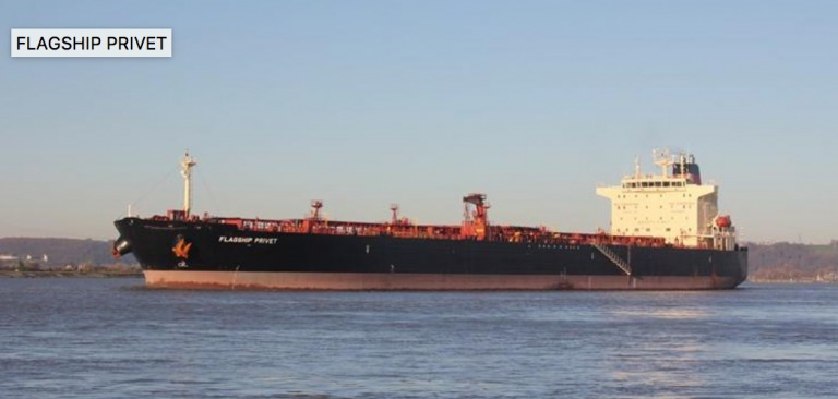
Crude oil tanker Flagship Privet IMO 9496032 outward-bound from...
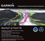
Honestly, Garmin BlueChart g2 Vision is the best marine...

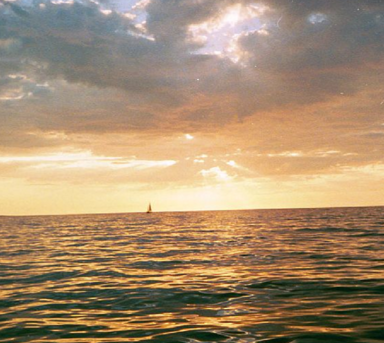
The final post of my adventurous sea voyage and...
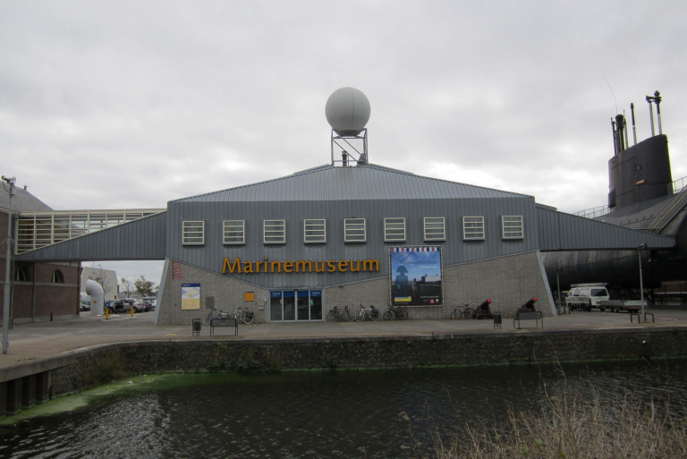
So we are underway to the Den Helder The...

I decided to resume Kiel Canal transit very early...
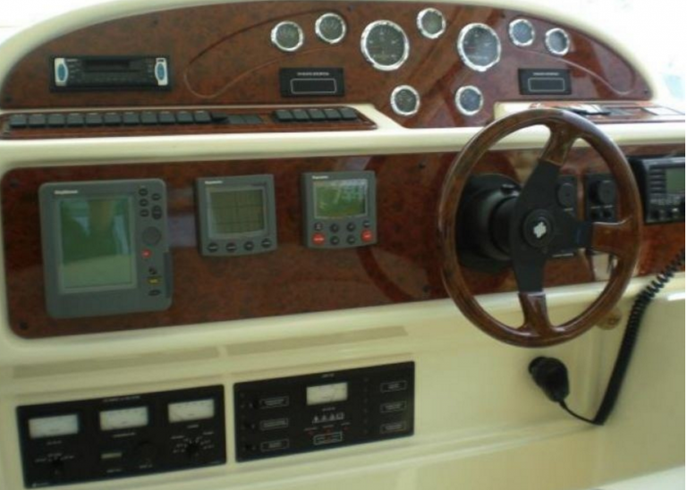
To get satisfied with the boat trip the proper...
As already promised, I’d like to write more or...